UN/LOCODE hub · United Kingdom
GBRNR

Bernera (Lewis)

58.1833°, -6.9833°
1
Transport functions

Transport Functions

Port
UN/LOCODE

Hub Profile

Region
ELS
GeoNames

Location

Location of GBRNR
Natural Earth 10m (public domain) · ELS · GBRNR · 58.18, -6.98GoogleOSMYandex

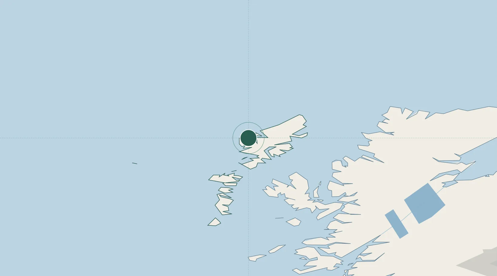
Nearby Logistics Neighbours

Cities
  1. 1Breasclete14 km
  2. 2Carloway16 km
  3. 3North Lochs31 km
  4. 4Lochs31 km
  5. 5South Lochs31 km
Nearest neighbours — logibook spatial index (haversine) over the source coordinates
Ports
  1. 1Tarbert33 km
  2. 2Stornoway Harbor36 km
  3. 3Lochmaddy66 km
  4. 4Uig77 km
  5. 5Aultbea91 km
Nearest neighbours — logibook spatial index (haversine) over the source coordinates
Airports
  1. 1Stornoway Airport38 km
  2. 2Benbecula Airport81 km
  3. 3Barra Airport132 km
  4. 4Coll Airport177 km
  5. 5Tiree Airport187 km
Nearest neighbours — logibook spatial index (haversine) over the source coordinates
Trade Zones
  1. 1Prestwick Airport Free Zone330 km
  2. 2Carlisle Kingmoor Park Enterprise Zone437 km
  3. 3Isle of Man Free Zone and Business Park478 km
  4. 4North Eastern Enterprise Zone485 km
  5. 5Tees Valley Enterprise Zone535 km
Nearest neighbours — logibook spatial index (haversine) over the source coordinates
DatabookThe Record of Consolidated Knowledge
United Kingdom beyond logistics?
Browse databook

All Sources

LocationsUN/LOCODE
UN/LOCODE — free
Portsthe NGA World Port Index
Public domain (US gov)
AirportsOurAirports
Public domain
Trade Zonesthe World Bank SEZ database
CC BY 4.0
Trade ZonesOpen Zone Map
CC BY
← United Kingdom locations