UN/LOCODE hub · United Kingdom
GBRBB
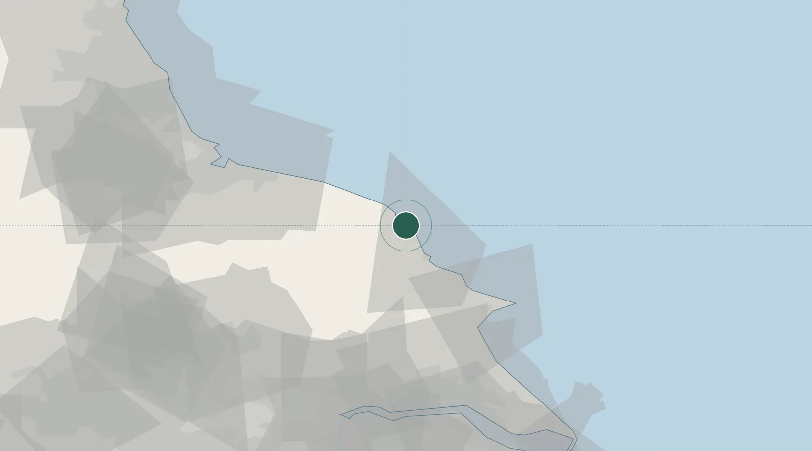
Robin Hoods Bay
54.4000°, -0.4833°
457
Population
1
Transport functions
Transport Functions
Port
Hub Profile
Place type
Populated place
Region
England
Population
457
Time zone
Europe/London
Elevation
54 m
Location
Nearby Logistics Neighbours
Cities
- 1Whitby13 km
- 2Brandesburton13 km
- 3Pickering26 km
- 4Sherburn26 km
- 5Cropton26 km
Ports
- 1Whitby13 km
- 2Scarborough14 km
- 3Bridlington40 km
- 4Teesport50 km
- 5Hartlepool56 km
Airports
- 1RAF Topcliffe62 km
- 2Teesside International Airport62 km
- 3RAF Leeming69 km
- 4Leeds East Airport78 km
- 5Humberside Airport92 km
Trade Zones
DatabookThe Record of Consolidated Knowledge
United Kingdom beyond logistics?