Transport Functions
Port
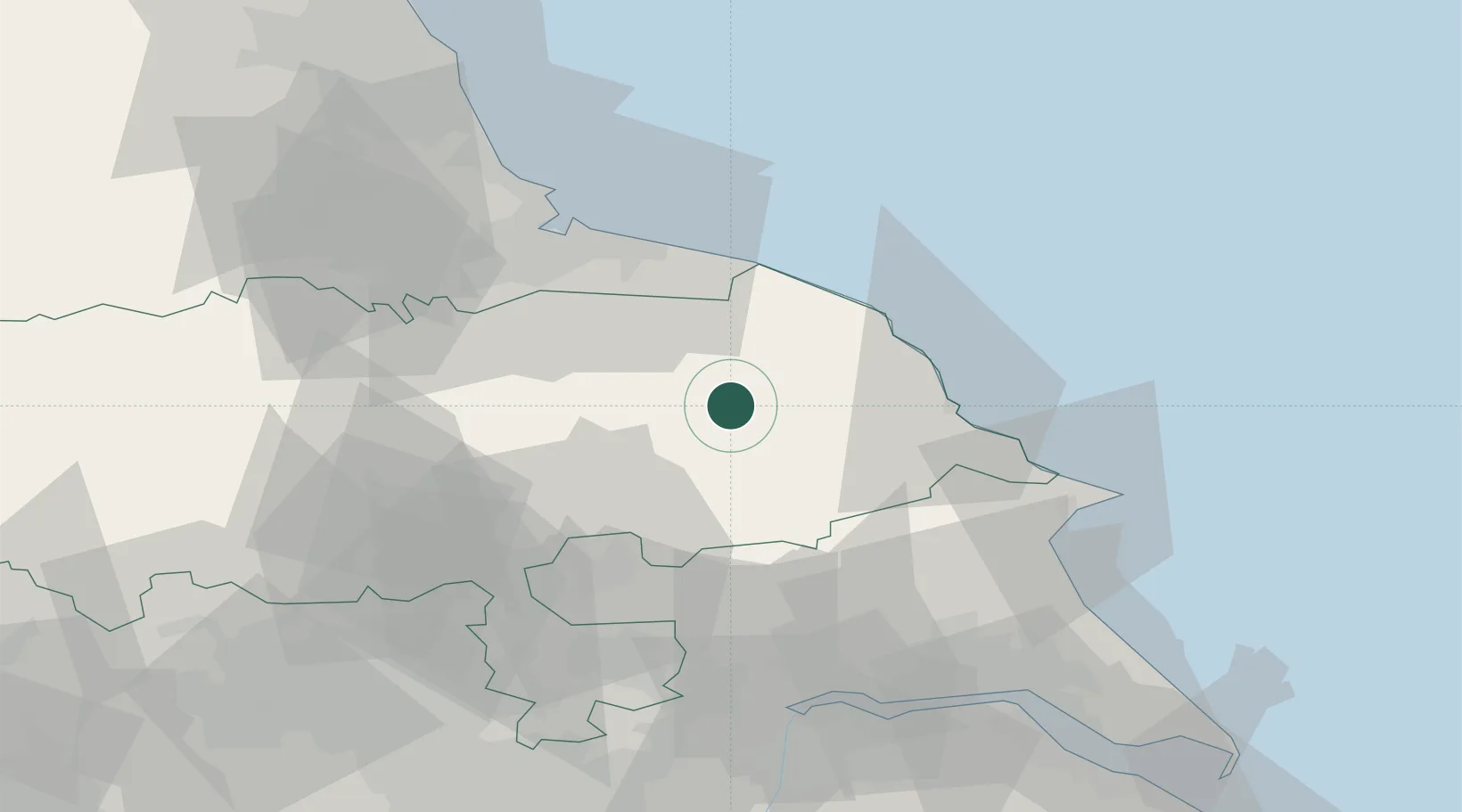
Hub Profile
Place type
Populated place
Region
England
Population
321
Time zone
Europe/London
Elevation
146 m
Location
Nearby Logistics Neighbours
Cities
- 1Pickering5 km
- 2Norton19 km
- 3Wintringham21 km
- 4Sherburn24 km
- 5Farlington25 km
Ports
- 1Whitby26 km
- 2Scarborough28 km
- 3Teesport45 km
- 4Bridlington48 km
- 5Hartlepool52 km
Airports
- 1RAF Topcliffe37 km
- 2RAF Leeming46 km
- 3Teesside International Airport46 km
- 4Leeds East Airport55 km
- 5Leeds Bradford Airport71 km
Trade Zones
DatabookThe Record of Consolidated Knowledge
United Kingdom beyond logistics?