UN/LOCODE hub · United Kingdom
GBWTB

Whitby

54.4833°, -0.6167°
13,213
Population
1
Transport functions

Transport Functions

Port
Whitby is also a profiled seaport →
UN/LOCODE

Hub Profile

Place type
Populated place
GeoNames
Region
England
GeoNames
Population
13,213
GeoNames
Time zone
Europe/London
GeoNames
Elevation
14 m
GeoNames

Location

Location of GBWTB
Natural Earth 10m (public domain) · England · GBWTB · 54.48, -0.62GoogleOSMYandex

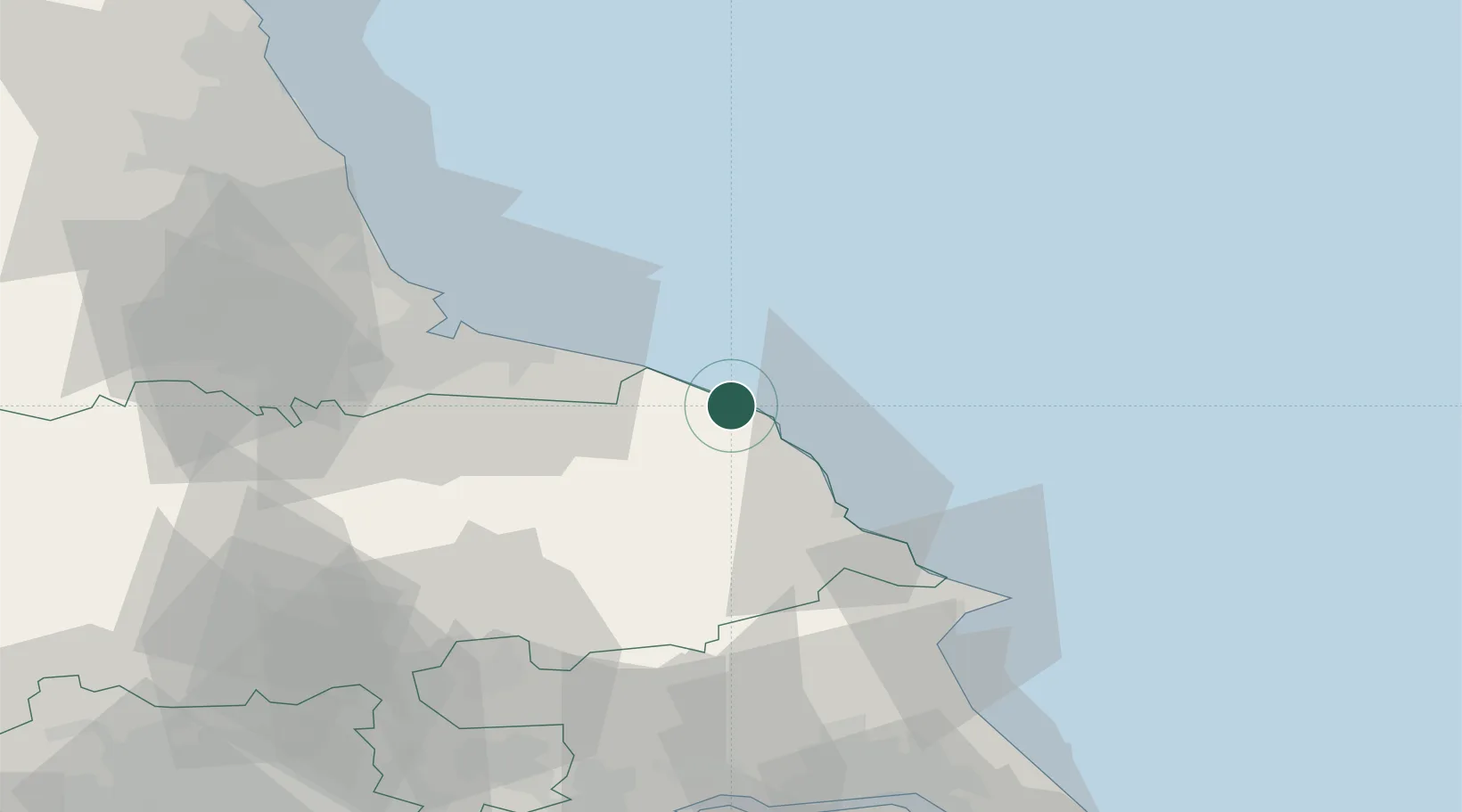
Nearby Logistics Neighbours

Cities
  1. 1Brandesburton9 km
  2. 2Robin Hoods Bay13 km
  3. 3Staithes14 km
  4. 4Liverton19 km
  5. 5Skinningrove19 km
Nearest neighbours — logibook spatial index (haversine) over the source coordinates
Ports
  1. 1Scarborough26 km
  2. 2Teesport38 km
  3. 3Hartlepool44 km
  4. 4Bridlington53 km
  5. 5Seaham60 km
Nearest neighbours — logibook spatial index (haversine) over the source coordinates
Airports
  1. 1Teesside International Airport53 km
  2. 2RAF Topcliffe58 km
  3. 3RAF Leeming63 km
  4. 4Leeds East Airport81 km
  5. 5Newcastle International Airport92 km
Nearest neighbours — logibook spatial index (haversine) over the source coordinates
Trade Zones
  1. 1Tees Valley Enterprise Zone39 km
  2. 2York Central Enterprise Zone66 km
  3. 3Humberside Free Zone81 km
  4. 4North Eastern Enterprise Zone84 km
  5. 5Humber Enterprise Zone85 km
Nearest neighbours — logibook spatial index (haversine) over the source coordinates
DatabookThe Record of Consolidated Knowledge
United Kingdom beyond logistics?
Browse databook

All Sources

LocationsUN/LOCODE
UN/LOCODE — free
LocationsGeoNames
CC BY 4.0
Portsthe NGA World Port Index
Public domain (US gov)
AirportsOurAirports
Public domain
Trade Zonesthe World Bank SEZ database
CC BY 4.0
Trade ZonesOpen Zone Map
CC BY
← United Kingdom locations