Medium airport · United Kingdom

Humberside AirportEGNJ
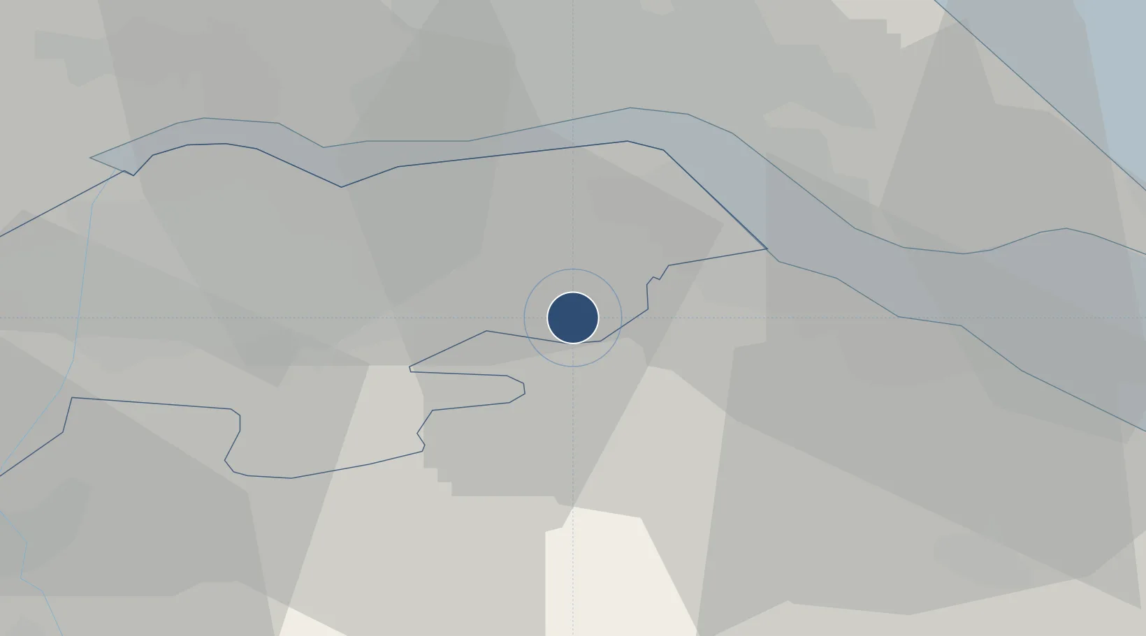
53.5762°, -0.3495°
7,218 ft
Longest runway
2
Runways
121 ft
Elevation

Runway & Layout

Humberside Airport runway & taxiway layout
Runway & taxiway layout — OpenStreetMap (ODbL) / OurAirports

Radio Frequencies

ATIS
124.13 MHz
TWR
124.905 MHz
8.33 conversion planned oct. 2018
APP
119.13 MHz
APP/RAD
129.255 MHz
OurAirports

Runways · 2

RunwayDimensions SurfaceTrue headingLit
02/20 7,218 × 148ft Asphalt 022°
08/26 3,248 × 59ft Asphalt 082°
OurAirports

Airport Specifications

IATA code
HUY
OurAirports
ICAO code
EGNJ
OurAirports
Airport class
Medium airport
OurAirports
Scheduled service
Yes
OurAirports
Runway surface
Asphalt
OurAirports
Served city
Grimsby, Lincolnshire
OurAirports

Location

Location of EGNJ
Natural Earth 10m (public domain) · North Lincolnshire · EGNJ · 53.58, -0.35GoogleOSMYandex

Nearby Logistics Neighbours

Airports
  1. 1RAF Waddington47 km
  2. 2RAF Coningsby55 km
  3. 3RAF Cranwell62 km
  4. 4Leeds East Airport63 km
  5. 5RAF Barkston Heath70 km
Nearest neighbours — logibook spatial index (haversine) over the source coordinates
Cities
  1. 1Barnetby-le-Wold4 km
  2. 2Elsham6 km
  3. 3Killingholme7 km
  4. 4South Killingholme8 km
  5. 5North Killingholme8 km
Nearest neighbours — logibook spatial index (haversine) over the source coordinates
Ports
  1. 1Immingham12 km
  2. 2New Holland14 km
  3. 3Grimsby19 km
  4. 4Kingston Upon Hull20 km
  5. 5Goole35 km
Nearest neighbours — logibook spatial index (haversine) over the source coordinates
Trade Zones
  1. 1Humber Enterprise Zone18 km
  2. 2Humberside Free Zone22 km
  3. 3York Central Enterprise Zone65 km
  4. 4Sheffield City Region Enterprise Zone77 km
  5. 5Aire Valley Leeds Enterprise Zone78 km
Nearest neighbours — logibook spatial index (haversine) over the source coordinates
DatabookThe Record of Consolidated Knowledge
United Kingdom beyond logistics?
Browse databook

All Sources

AirportsOurAirports
Public domain
Portsthe NGA World Port Index
Public domain (US gov)
LocationsUN/LOCODE
UN/LOCODE — free
Trade Zonesthe World Bank SEZ database
CC BY 4.0
Trade ZonesOpen Zone Map
CC BY
InfrastructureOpenStreetMap
ODbL 1.0
← United Kingdom airports