Transport Functions
Multimodal
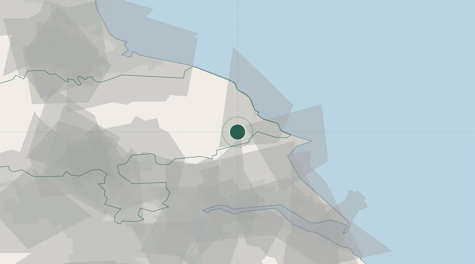
Hub Profile
Place type
Populated place
Region
England
Time zone
Europe/London
Elevation
35 m
Location
Nearby Logistics Neighbours
Cities
- 1Wintringham9 km
- 2Norton17 km
- 3Pickering20 km
- 4Bridlington23 km
- 5Cropton24 km
Ports
- 1Scarborough15 km
- 2Bridlington24 km
- 3Whitby36 km
- 4Kingston Upon Hull49 km
- 5New Holland53 km
Airports
- 1RAF Topcliffe56 km
- 2Leeds East Airport58 km
- 3Humberside Airport67 km
- 4RAF Leeming68 km
- 5Teesside International Airport70 km
Trade Zones
DatabookThe Record of Consolidated Knowledge
United Kingdom beyond logistics?