UN/LOCODE hub · United Kingdom
GBPKR
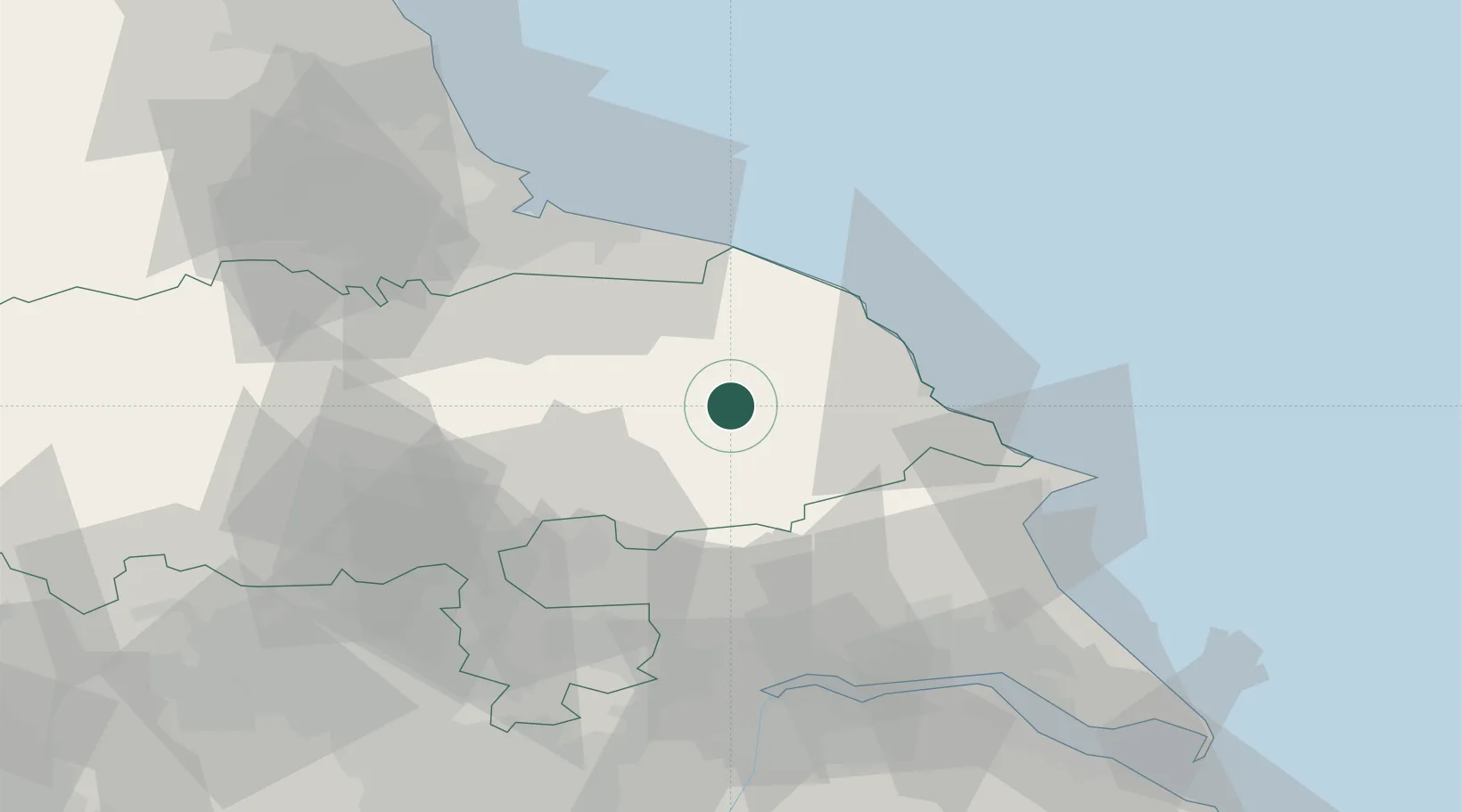
Pickering
54.2500°, -0.7833°
6,936
Population
4
Transport functions
Transport Functions
Port
Rail
Road
Multimodal
Hub Profile
Place type
Populated place
Region
England
Population
6,936
Time zone
Europe/London
Elevation
62 m
Location
Nearby Logistics Neighbours
Cities
- 1Cropton5 km
- 2Norton15 km
- 3Wintringham16 km
- 4Sherburn20 km
- 5Farlington25 km
Ports
- 1Scarborough25 km
- 2Whitby28 km
- 3Bridlington43 km
- 4Teesport50 km
- 5Hartlepool56 km
Airports
- 1RAF Topcliffe39 km
- 2RAF Leeming49 km
- 3Teesside International Airport51 km
- 4Leeds East Airport53 km
- 5Leeds Bradford Airport71 km
Trade Zones
DatabookThe Record of Consolidated Knowledge
United Kingdom beyond logistics?