UN/LOCODE hub · United Kingdom
GBZTO
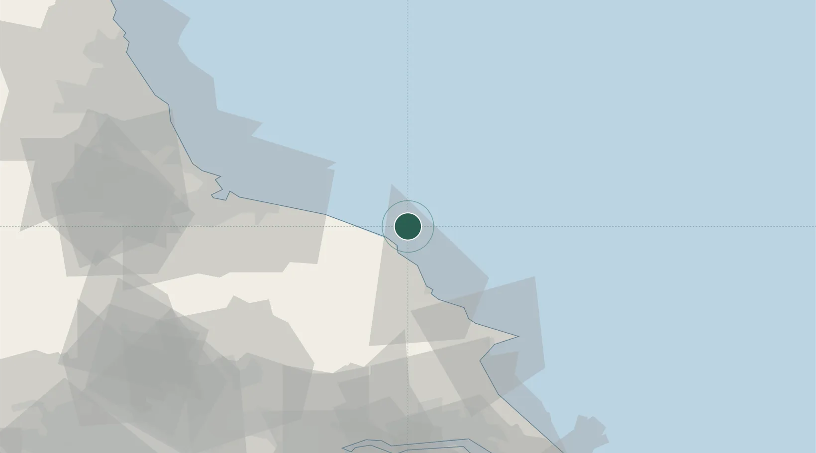
Brandesburton
54.5167°, -0.4833°
1,291
Population
1
Transport functions
Transport Functions
Multimodal
Hub Profile
Place type
Populated place
Region
England
Population
1,291
Time zone
Europe/London
Elevation
7 m
Location
Nearby Logistics Neighbours
Cities
- 1Whitby9 km
- 2Robin Hoods Bay13 km
- 3Staithes21 km
- 4Skinningrove26 km
- 5Liverton27 km
Ports
- 1Whitby9 km
- 2Scarborough27 km
- 3Teesport44 km
- 4Hartlepool50 km
- 5Bridlington52 km
Airports
- 1Teesside International Airport61 km
- 2RAF Topcliffe68 km
- 3RAF Leeming73 km
- 4Leeds East Airport89 km
- 5Newcastle International Airport97 km
Trade Zones
DatabookThe Record of Consolidated Knowledge
United Kingdom beyond logistics?