UN/LOCODE hub · United Kingdom
GBTEE
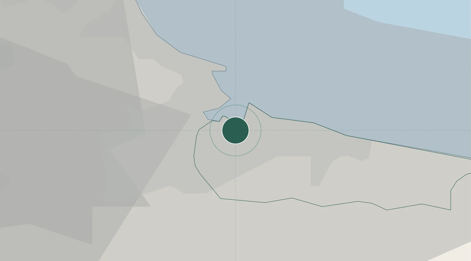
Teesport
54.6056°, -1.1581°
1
Transport functions
1
Container terminals
Transport Functions
Port
Hub Profile
Region
RCC
Logistics facilities
1
Container terminals
1
Location
Nearby Logistics Neighbours
Cities
- 1Middlesbrough3 km
- 2Seal Sands4 km
- 3Port Clarence5 km
- 4Greatham6 km
- 5Redcar7 km
Ports
- 1Hartlepool11 km
- 2Seaham27 km
- 3Sunderland37 km
- 4Whitby38 km
- 5Tynemouth47 km
Airports
- 1Teesside International Airport21 km
- 2RAF Leeming42 km
- 3RAF Topcliffe47 km
- 4Newcastle International Airport59 km
- 5Leeds East Airport86 km
Trade Zones
DatabookThe Record of Consolidated Knowledge
United Kingdom beyond logistics?