Transport Functions
Rail
Road
Hub Profile
Place type
Provincial seat
Region
Scotland
Population
25,040
Time zone
Europe/London
Elevation
20 m
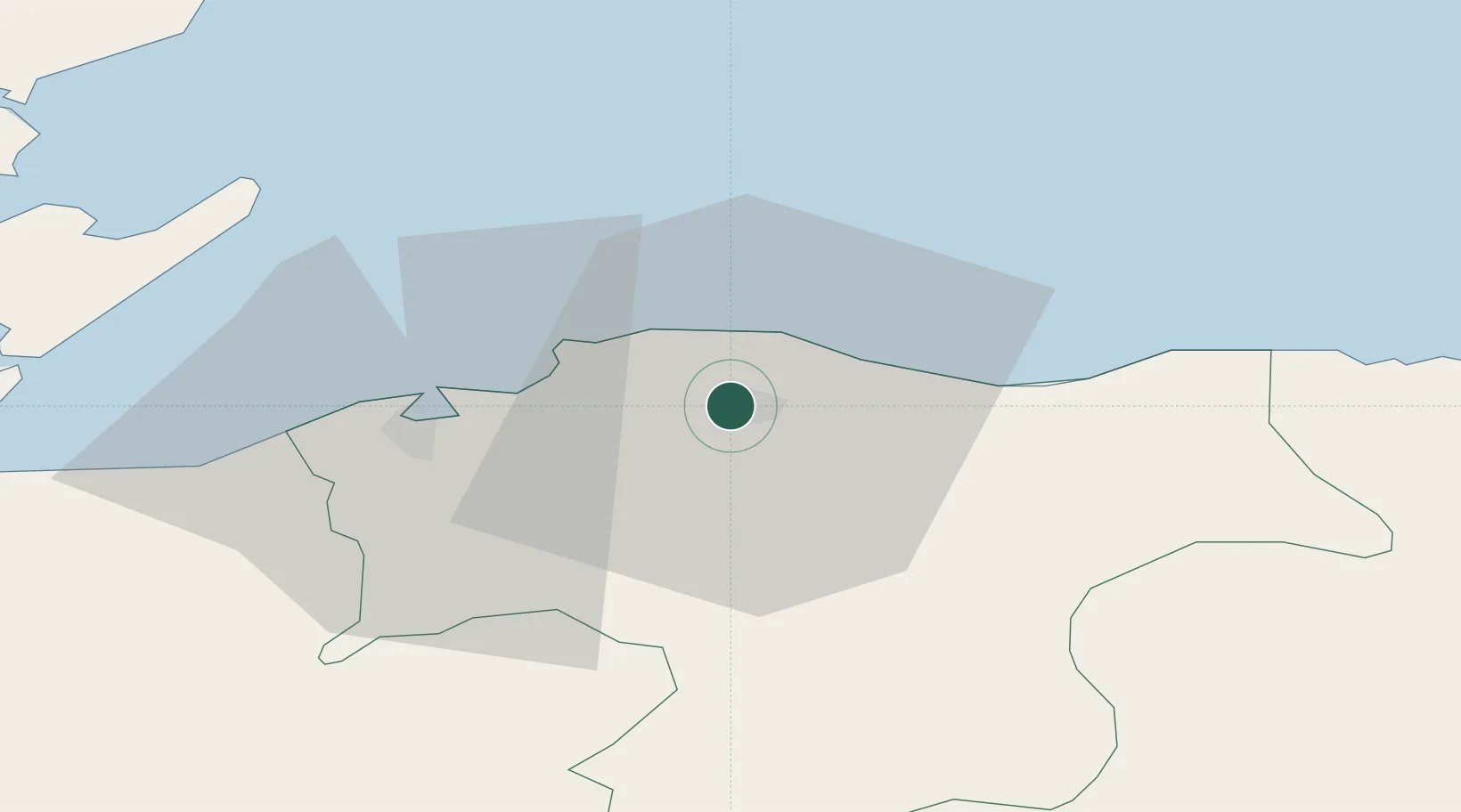
Location
Nearby Logistics Neighbours
Cities
- 1Lossiemouth6 km
- 2Hopeman8 km
- 3Burghead11 km
- 4Charlestown of Aberlour15 km
- 5Findhorn16 km
Ports
- 1Lossiemouth8 km
- 2Burghead11 km
- 3Buckie Harbor22 km
- 4Portmahomack Harbor36 km
- 5Cromarty42 km
Airports
- 1RAF Lossiemouth6 km
- 2Inverness Airport44 km
- 3Aberdeen International Airport84 km
- 4Wick John O'Groats Airport91 km
- 5Dundee Airport134 km
Trade Zones
DatabookThe Record of Consolidated Knowledge
United Kingdom beyond logistics?