UN/LOCODE hub · United Kingdom
GBCUB

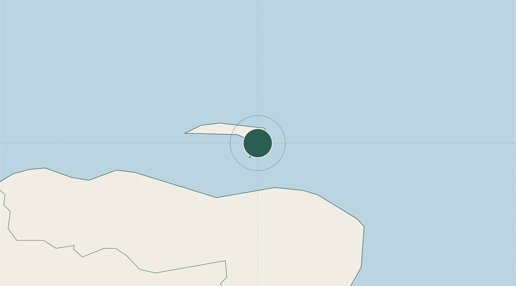
Church Bay, Rathlin Island

55.2833°, -6.1833°
2
Transport functions

Transport Functions

Port
Road
UN/LOCODE

Hub Profile

Region
MYL
GeoNames

Location

Location of GBCUB
Natural Earth 10m (public domain) · MYL · GBCUB · 55.28, -6.18GoogleOSMYandex

Nearby Logistics Neighbours

Cities
  1. 1Ballintoy12 km
  2. 2Dunseverick18 km
  3. 3Cushendun19 km
  4. 4Portballintrae23 km
  5. 5Cushendall24 km
Nearest neighbours — logibook spatial index (haversine) over the source coordinates
Ports
  1. 1Coleraine35 km
  2. 2Port Ellen39 km
  3. 3Campbeltown41 km
  4. 4Larne54 km
  5. 5Kilroot68 km
Nearest neighbours — logibook spatial index (haversine) over the source coordinates
Airports
  1. 1Campbeltown Airport36 km
  2. 2Islay Airport45 km
  3. 3City of Derry Airport68 km
  4. 4Belfast International Airport70 km
  5. 5George Best Belfast City Airport77 km
Nearest neighbours — logibook spatial index (haversine) over the source coordinates
Trade Zones
  1. 1Prestwick Airport Free Zone102 km
  2. 2Isle of Man Free Zone and Business Park166 km
  3. 3Carlisle Kingmoor Park Enterprise Zone208 km
  4. 4Dublin International Financial Services Centre215 km
  5. 5Blackpool Enterprise Zone264 km
Nearest neighbours — logibook spatial index (haversine) over the source coordinates
DatabookThe Record of Consolidated Knowledge
United Kingdom beyond logistics?
Browse databook

All Sources

LocationsUN/LOCODE
UN/LOCODE — free
Portsthe NGA World Port Index
Public domain (US gov)
AirportsOurAirports
Public domain
Trade Zonesthe World Bank SEZ database
CC BY 4.0
Trade ZonesOpen Zone Map
CC BY
← United Kingdom locations