Transport Functions
Multimodal
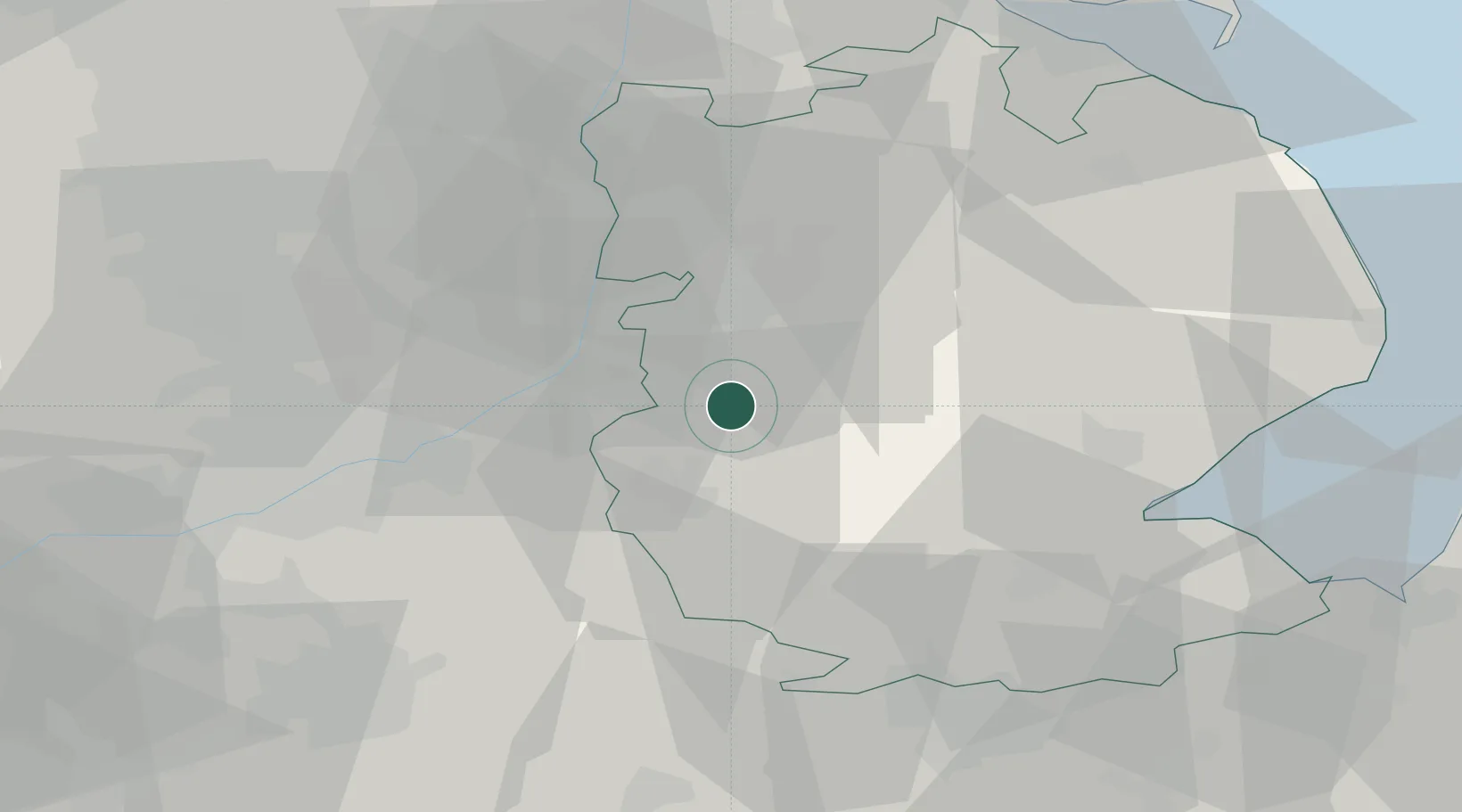
Hub Profile
Place type
Populated place
Region
England
Population
410
Time zone
Europe/London
Elevation
57 m
Location
Nearby Logistics Neighbours
Cities
- 1Bassingham8 km
- 2Ancaster10 km
- 3Ruskington13 km
- 4Cotham16 km
- 5North Scarle20 km
Ports
- 1Boston39 km
- 2Wisbech65 km
- 3Grimsby69 km
- 4Immingham70 km
- 5New Holland74 km
Airports
- 1RAF Cranwell7 km
- 2RAF Barkston Heath10 km
- 3RAF Waddington14 km
- 4RAF Coningsby28 km
- 5Nottingham City Airport36 km
Trade Zones
DatabookThe Record of Consolidated Knowledge
United Kingdom beyond logistics?