UN/LOCODE hub · United Kingdom
GBBXF
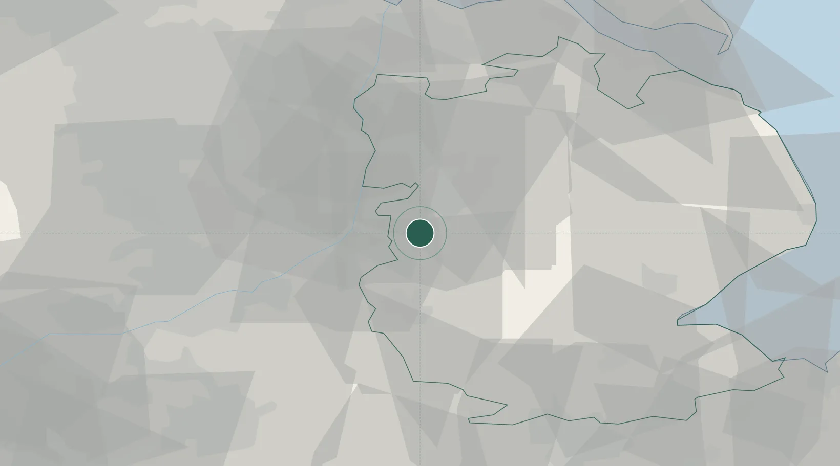
Bassingham
53.1167°, -0.6333°
1,425
Population
2
Transport functions
Transport Functions
Port
Multimodal
Hub Profile
Place type
Populated place
Region
England
Population
1,425
Time zone
Europe/London
Elevation
16 m
Location
Nearby Logistics Neighbours
Cities
- 1Leadenham8 km
- 2North Scarle11 km
- 3Birchwood13 km
- 4Metheringham13 km
- 5Mangotsfield13 km
Ports
- 1Boston45 km
- 2Grimsby64 km
- 3Immingham64 km
- 4Goole66 km
- 5New Holland67 km
Airports
- 1RAF Waddington9 km
- 2RAF Cranwell14 km
- 3RAF Barkston Heath18 km
- 4RAF Coningsby31 km
- 5Nottingham City Airport37 km
Trade Zones
DatabookThe Record of Consolidated Knowledge
United Kingdom beyond logistics?