UN/LOCODE hub · United Kingdom
GBNAR

Arnold

53.0000°, -1.1167°
37,873
Population
1
Transport functions

Transport Functions

Port
UN/LOCODE

Hub Profile

Place type
Populated place
GeoNames
Region
England
GeoNames
Population
37,873
GeoNames
Time zone
Europe/London
GeoNames
Elevation
66 m
GeoNames

Location

Location of GBNAR
Natural Earth 10m (public domain) · England · GBNAR · 53.00, -1.12GoogleOSMYandex

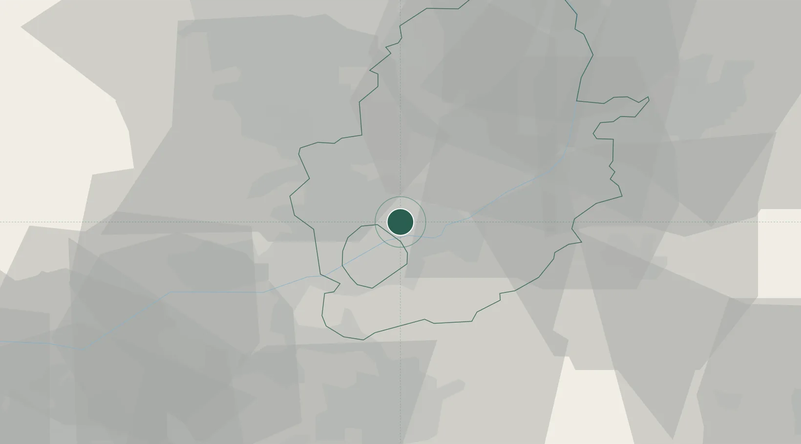
Nearby Logistics Neighbours

Cities
  1. 1Oadby3 km
  2. 2Nottingham6 km
  3. 3Hoveringham10 km
  4. 4Annesley Woodhouse12 km
  5. 5Cossall12 km
Nearest neighbours — logibook spatial index (haversine) over the source coordinates
Ports
  1. 1Boston74 km
  2. 2Goole80 km
  3. 3Howdendyke83 km
  4. 4New Holland92 km
  5. 5Wisbech93 km
Nearest neighbours — logibook spatial index (haversine) over the source coordinates
Airports
  1. 1Nottingham City Airport9 km
  2. 2East Midlands Airport24 km
  3. 3RAF Barkston Heath38 km
  4. 4RAF Cranwell42 km
  5. 5RAF Waddington44 km
Nearest neighbours — logibook spatial index (haversine) over the source coordinates
Trade Zones
  1. 1Nottingham D2N2 Enterprise Zone7 km
  2. 2Infinity Park Derby Enterprise Zone27 km
  3. 3Loughborough Leicester Enterprise Zone41 km
  4. 4Sheffield City Region Enterprise Zone49 km
  5. 5Mira Technology Park55 km
Nearest neighbours — logibook spatial index (haversine) over the source coordinates
DatabookThe Record of Consolidated Knowledge
United Kingdom beyond logistics?
Browse databook

All Sources

LocationsUN/LOCODE
UN/LOCODE — free
LocationsGeoNames
CC BY 4.0
Portsthe NGA World Port Index
Public domain (US gov)
AirportsOurAirports
Public domain
Trade Zonesthe World Bank SEZ database
CC BY 4.0
Trade ZonesOpen Zone Map
CC BY
← United Kingdom locations