UN/LOCODE hub · United Kingdom
GBRDO
Ruddington
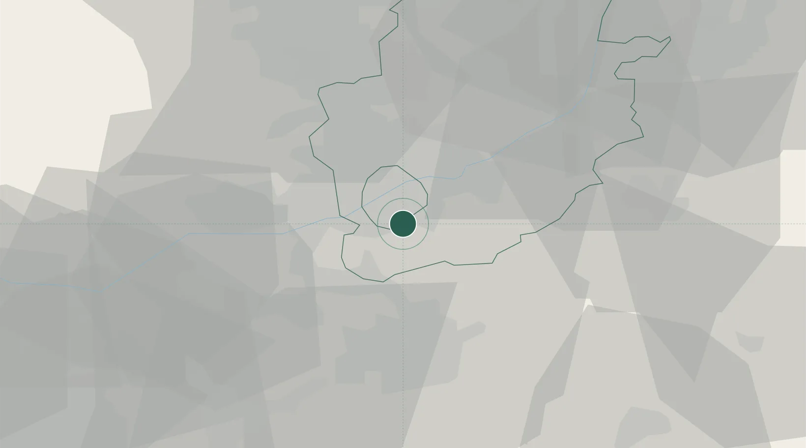
52.8833°, -1.1500°
6,404
Population
2
Transport functions
Transport Functions
Road
Multimodal
Hub Profile
Place type
Populated place
Region
England
Population
6,404
Time zone
Europe/London
Elevation
41 m
Location
Nearby Logistics Neighbours
Cities
- 1Nottingham9 km
- 2Kegworth11 km
- 3Normanton on Soar11 km
- 4Oadby11 km
- 5Cossall13 km
Ports
- 1Boston77 km
- 2Wisbech91 km
- 3Goole93 km
- 4Howdendyke96 km
- 5Manchester100 km
Airports
- 1Nottingham City Airport6 km
- 2East Midlands Airport13 km
- 3RAF Barkston Heath41 km
- 4RAF Cranwell47 km
- 5RAF Waddington52 km
DatabookThe Record of Consolidated Knowledge
United Kingdom beyond logistics?