Transport Functions
Multimodal
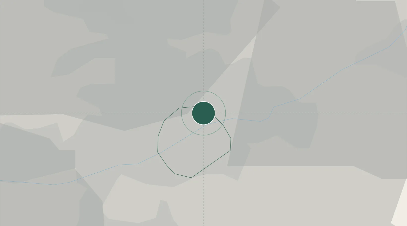
Hub Profile
Place type
Populated place
Region
England
Population
23,184
Time zone
Europe/London
Elevation
104 m
Location
Nearby Logistics Neighbours
Cities
- 1Arnold3 km
- 2Nottingham5 km
- 3Cossall9 km
- 4Ruddington11 km
- 5Annesley Woodhouse11 km
Ports
- 1Boston76 km
- 2Goole82 km
- 3Howdendyke85 km
- 4Manchester93 km
- 5Wisbech94 km
Airports
- 1Nottingham City Airport9 km
- 2East Midlands Airport21 km
- 3RAF Barkston Heath40 km
- 4RAF Cranwell44 km
- 5RAF Waddington47 km
DatabookThe Record of Consolidated Knowledge
United Kingdom beyond logistics?