Transport Functions
Port
Road
Multimodal
Hub Profile
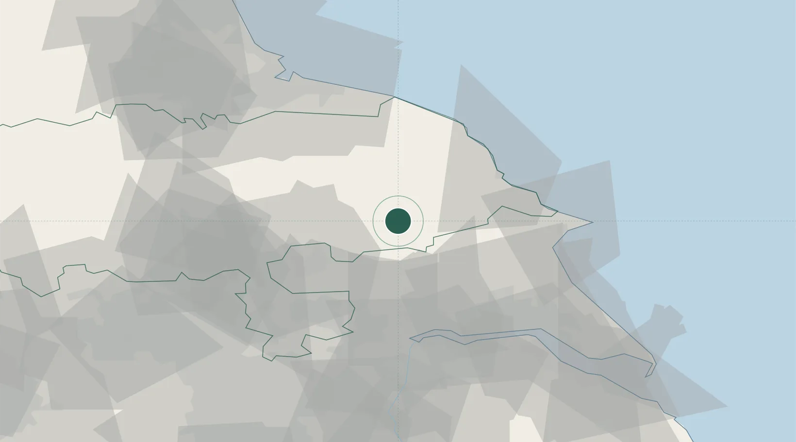
Place type
Populated place
Region
England
Population
7,000
Time zone
Europe/London
Elevation
20 m
Location
Nearby Logistics Neighbours
Cities
- 1Wintringham8 km
- 2Pickering15 km
- 3Flaxton15 km
- 4Sherburn17 km
- 5Cropton19 km
Ports
- 1Scarborough30 km
- 2Bridlington38 km
- 3Whitby42 km
- 4Howdendyke43 km
- 5Goole47 km
Airports
- 1RAF Topcliffe41 km
- 2Leeds East Airport42 km
- 3RAF Leeming54 km
- 4Teesside International Airport61 km
- 5Leeds Bradford Airport65 km
Trade Zones
DatabookThe Record of Consolidated Knowledge
United Kingdom beyond logistics?