Transport Functions
Port
Multimodal
Hub Profile
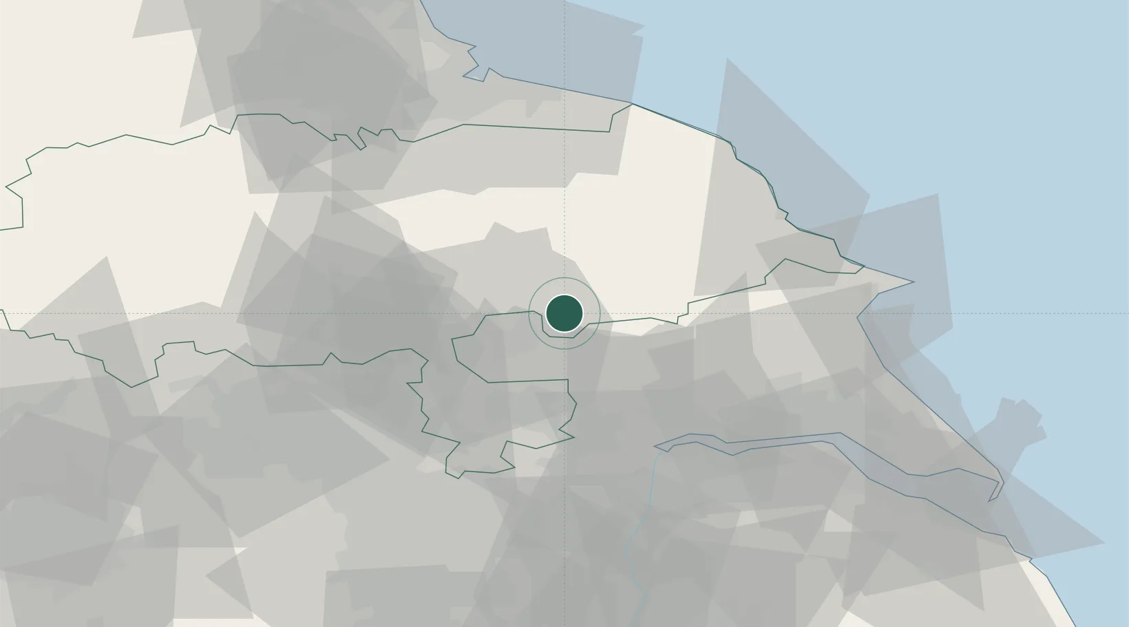
Place type
Populated place
Region
England
Population
343
Time zone
Europe/London
Elevation
33 m
Location
Nearby Logistics Neighbours
Cities
- 1Farlington11 km
- 2Upper Poppleton14 km
- 3Norton15 km
- 4Easingwold18 km
- 5Melbourne18 km
Ports
- 1Howdendyke34 km
- 2Goole38 km
- 3Scarborough45 km
- 4Bridlington50 km
- 5New Holland53 km
Airports
- 1Leeds East Airport27 km
- 2RAF Topcliffe34 km
- 3RAF Leeming48 km
- 4Leeds Bradford Airport50 km
- 5Teesside International Airport61 km
Trade Zones
DatabookThe Record of Consolidated Knowledge
United Kingdom beyond logistics?