Transport Functions
Port
Hub Profile
Place type
Local administrative seat
Region
England
Time zone
Europe/London
Elevation
49 m
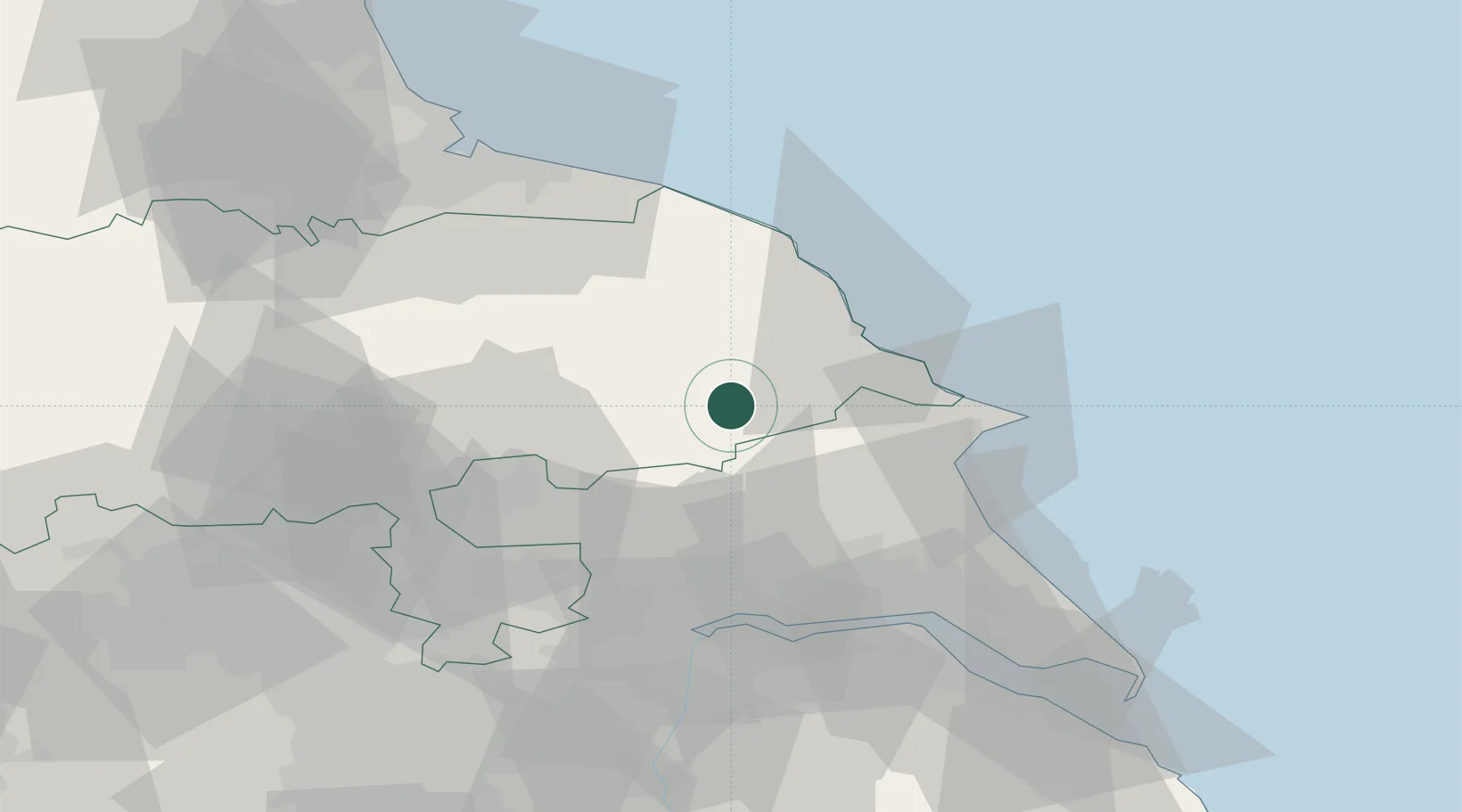
Location
Nearby Logistics Neighbours
Ports
- 1Scarborough23 km
- 2Bridlington31 km
- 3Whitby39 km
- 4Howdendyke47 km
- 5Kingston Upon Hull49 km
Airports
- 1RAF Topcliffe48 km
- 2Leeds East Airport49 km
- 3RAF Leeming61 km
- 4Humberside Airport65 km
- 5Teesside International Airport66 km
Trade Zones
DatabookThe Record of Consolidated Knowledge
United Kingdom beyond logistics?