UN/LOCODE hub · United Kingdom
GBNOH

North Haven, Fair Isle

59.5333°, -1.6000°
2
Transport functions

Transport Functions

Port
Road
UN/LOCODE

Hub Profile

Region
ZET
GeoNames

Location

Location of GBNOH
Natural Earth 10m (public domain) · ZET · GBNOH · 59.53, -1.60GoogleOSMYandex

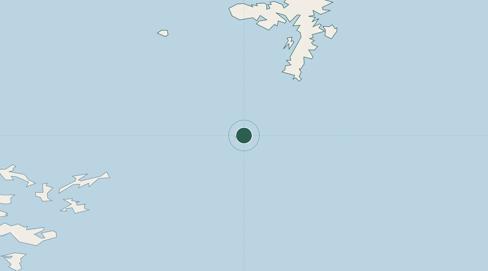
Nearby Logistics Neighbours

Cities
  1. 1Fairisle2 km
  2. 2Dunrossness and Fair Isle3 km
  3. 3Grutness41 km
  4. 4North Ronaldsay51 km
  5. 5Levenwick52 km
Nearest neighbours — logibook spatial index (haversine) over the source coordinates
Ports
  1. 1Kettletoft66 km
  2. 2Scalloway69 km
  3. 3Whitehall72 km
  4. 4Lerwick75 km
  5. 5Pierowall82 km
Nearest neighbours — logibook spatial index (haversine) over the source coordinates
Airports
  1. 1Fair Isle Airport2 km
  2. 2Sumburgh Airport42 km
  3. 3North Ronaldsay Airport51 km
  4. 4Sanday Airport64 km
  5. 5Foula Airfield70 km
Nearest neighbours — logibook spatial index (haversine) over the source coordinates
Trade Zones
  1. 1Prestwick Airport Free Zone482 km
  2. 2North Eastern Enterprise Zone508 km
  3. 3Carlisle Kingmoor Park Enterprise Zone518 km
  4. 4Tees Valley Enterprise Zone549 km
  5. 5York Central Enterprise Zone621 km
Nearest neighbours — logibook spatial index (haversine) over the source coordinates
DatabookThe Record of Consolidated Knowledge
United Kingdom beyond logistics?
Browse databook

All Sources

LocationsUN/LOCODE
UN/LOCODE — free
Portsthe NGA World Port Index
Public domain (US gov)
AirportsOurAirports
Public domain
Trade Zonesthe World Bank SEZ database
CC BY 4.0
Trade ZonesOpen Zone Map
CC BY
← United Kingdom locations