UN/LOCODE hub · United Kingdom
GBFAI

Fairisle

59.5167°, -1.6000°
1
Transport functions

Transport Functions

Port
UN/LOCODE

Hub Profile

Region
ZET
GeoNames

Location

Location of GBFAI
Natural Earth 10m (public domain) · ZET · GBFAI · 59.52, -1.60GoogleOSMYandex

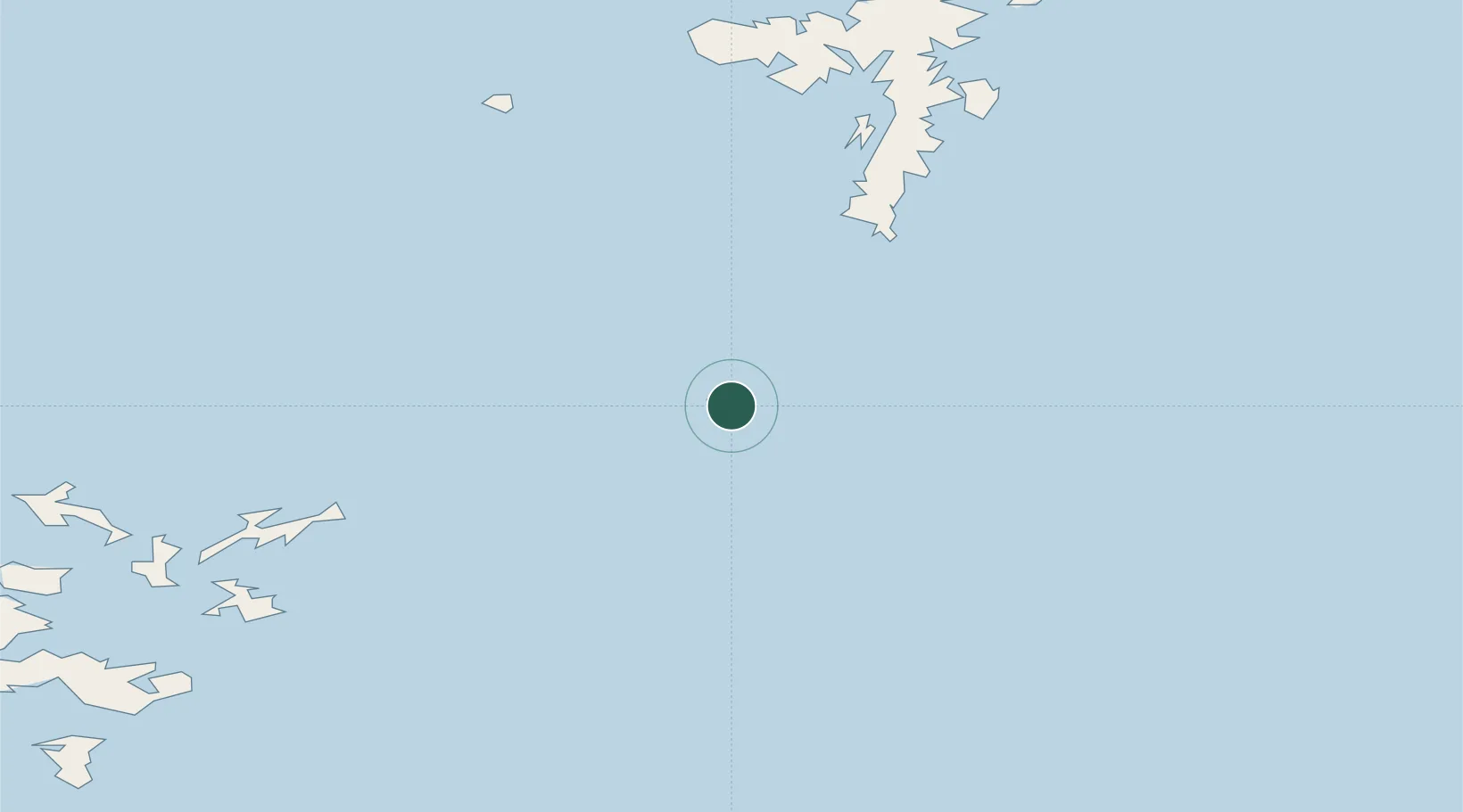
Nearby Logistics Neighbours

Cities
  1. 1North Haven, Fair Isle2 km
  2. 2Dunrossness and Fair Isle4 km
  3. 3Grutness43 km
  4. 4North Ronaldsay51 km
  5. 5Levenwick53 km
Nearest neighbours — logibook spatial index (haversine) over the source coordinates
Ports
  1. 1Kettletoft65 km
  2. 2Scalloway71 km
  3. 3Whitehall71 km
  4. 4Lerwick77 km
  5. 5Pierowall82 km
Nearest neighbours — logibook spatial index (haversine) over the source coordinates
Airports
  1. 1Fair Isle Airport3 km
  2. 2Sumburgh Airport44 km
  3. 3North Ronaldsay Airport50 km
  4. 4Sanday Airport63 km
  5. 5Stronsay Airport71 km
Nearest neighbours — logibook spatial index (haversine) over the source coordinates
Trade Zones
  1. 1Prestwick Airport Free Zone480 km
  2. 2North Eastern Enterprise Zone506 km
  3. 3Carlisle Kingmoor Park Enterprise Zone516 km
  4. 4Tees Valley Enterprise Zone547 km
  5. 5York Central Enterprise Zone619 km
Nearest neighbours — logibook spatial index (haversine) over the source coordinates
DatabookThe Record of Consolidated Knowledge
United Kingdom beyond logistics?
Browse databook

All Sources

LocationsUN/LOCODE
UN/LOCODE — free
Portsthe NGA World Port Index
Public domain (US gov)
AirportsOurAirports
Public domain
Trade Zonesthe World Bank SEZ database
CC BY 4.0
Trade ZonesOpen Zone Map
CC BY
← United Kingdom locations