UN/LOCODE hub · United Kingdom
GBDNF

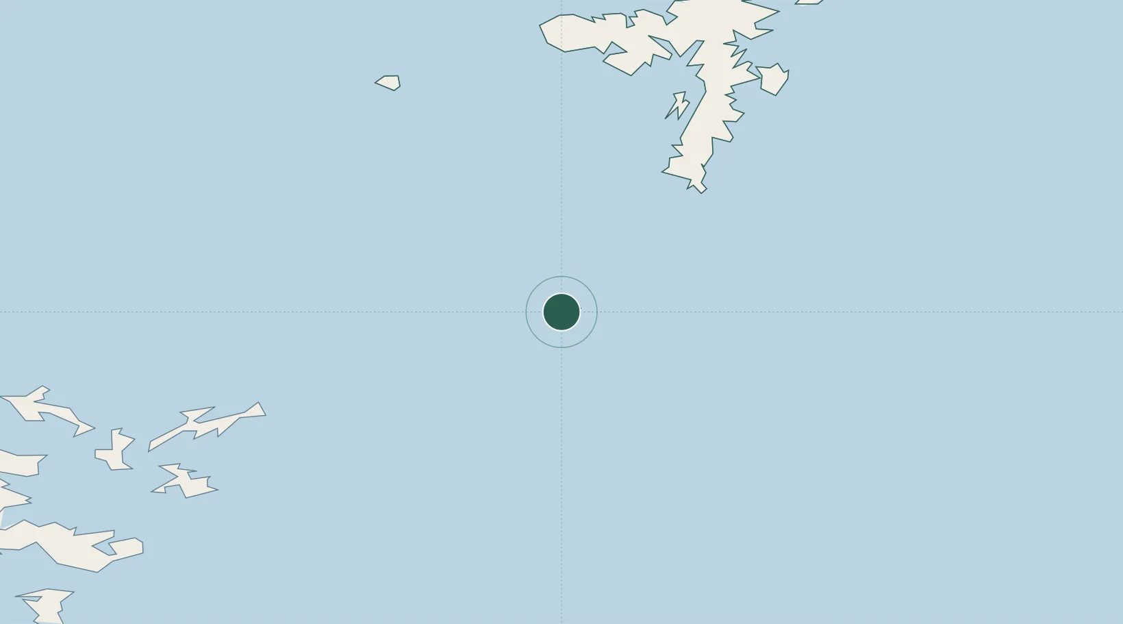
Dunrossness and Fair Isle

59.5500°, -1.6333°
1
Transport functions

Transport Functions

Port
UN/LOCODE

Hub Profile

Region
ZET
GeoNames

Location

Location of GBDNF
Natural Earth 10m (public domain) · ZET · GBDNF · 59.55, -1.63GoogleOSMYandex

Nearby Logistics Neighbours

Cities
  1. 1North Haven, Fair Isle3 km
  2. 2Fairisle4 km
  3. 3Grutness40 km
  4. 4North Ronaldsay50 km
  5. 5Levenwick51 km
Nearest neighbours — logibook spatial index (haversine) over the source coordinates
Ports
  1. 1Kettletoft65 km
  2. 2Scalloway68 km
  3. 3Whitehall72 km
  4. 4Lerwick74 km
  5. 5Pierowall81 km
Nearest neighbours — logibook spatial index (haversine) over the source coordinates
Airports
  1. 1Fair Isle Airport2 km
  2. 2Sumburgh Airport41 km
  3. 3North Ronaldsay Airport50 km
  4. 4Sanday Airport63 km
  5. 5Foula Airfield68 km
Nearest neighbours — logibook spatial index (haversine) over the source coordinates
Trade Zones
  1. 1Prestwick Airport Free Zone483 km
  2. 2North Eastern Enterprise Zone510 km
  3. 3Carlisle Kingmoor Park Enterprise Zone519 km
  4. 4Tees Valley Enterprise Zone551 km
  5. 5York Central Enterprise Zone623 km
Nearest neighbours — logibook spatial index (haversine) over the source coordinates
DatabookThe Record of Consolidated Knowledge
United Kingdom beyond logistics?
Browse databook

All Sources

LocationsUN/LOCODE
UN/LOCODE — free
Portsthe NGA World Port Index
Public domain (US gov)
AirportsOurAirports
Public domain
Trade Zonesthe World Bank SEZ database
CC BY 4.0
Trade ZonesOpen Zone Map
CC BY
← United Kingdom locations