UN/LOCODE hub · United Kingdom
GBNRO

North Ronaldsay

59.3500°, -2.4333°
1
Transport functions

Transport Functions

Port
UN/LOCODE

Hub Profile

Region
ORK
GeoNames

Location

Location of GBNRO
Natural Earth 10m (public domain) · ORK · GBNRO · 59.35, -2.43GoogleOSMYandex

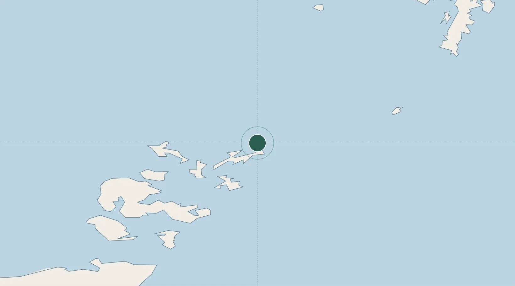
Nearby Logistics Neighbours

Cities
  1. 1Kettletoft, Sanday16 km
  2. 2Loth, Sanday23 km
  3. 3Papa Westray26 km
  4. 4Whitehall Village, Stronsay26 km
  5. 5Rapness, Westray26 km
Nearest neighbours — logibook spatial index (haversine) over the source coordinates
Ports
  1. 1Kettletoft16 km
  2. 2Whitehall26 km
  3. 3Pierowall32 km
  4. 4Kirkwall51 km
  5. 5Scapa Bay54 km
Nearest neighbours — logibook spatial index (haversine) over the source coordinates
Airports
  1. 1North Ronaldsay Airport2 km
  2. 2Sanday Airport14 km
  3. 3Stronsay Airport25 km
  4. 4Eday Airport26 km
  5. 5Papa Westray Airport27 km
Nearest neighbours — logibook spatial index (haversine) over the source coordinates
Trade Zones
  1. 1Prestwick Airport Free Zone447 km
  2. 2North Eastern Enterprise Zone490 km
  3. 3Carlisle Kingmoor Park Enterprise Zone492 km
  4. 4Tees Valley Enterprise Zone533 km
  5. 5Isle of Man Free Zone and Business Park600 km
Nearest neighbours — logibook spatial index (haversine) over the source coordinates
DatabookThe Record of Consolidated Knowledge
United Kingdom beyond logistics?
Browse databook

All Sources

LocationsUN/LOCODE
UN/LOCODE — free
Portsthe NGA World Port Index
Public domain (US gov)
AirportsOurAirports
Public domain
Trade Zonesthe World Bank SEZ database
CC BY 4.0
Trade ZonesOpen Zone Map
CC BY
← United Kingdom locations