Transport Functions
Port
Hub Profile
Place type
Locality
Region
Scotland
Time zone
Europe/London
Elevation
25 m
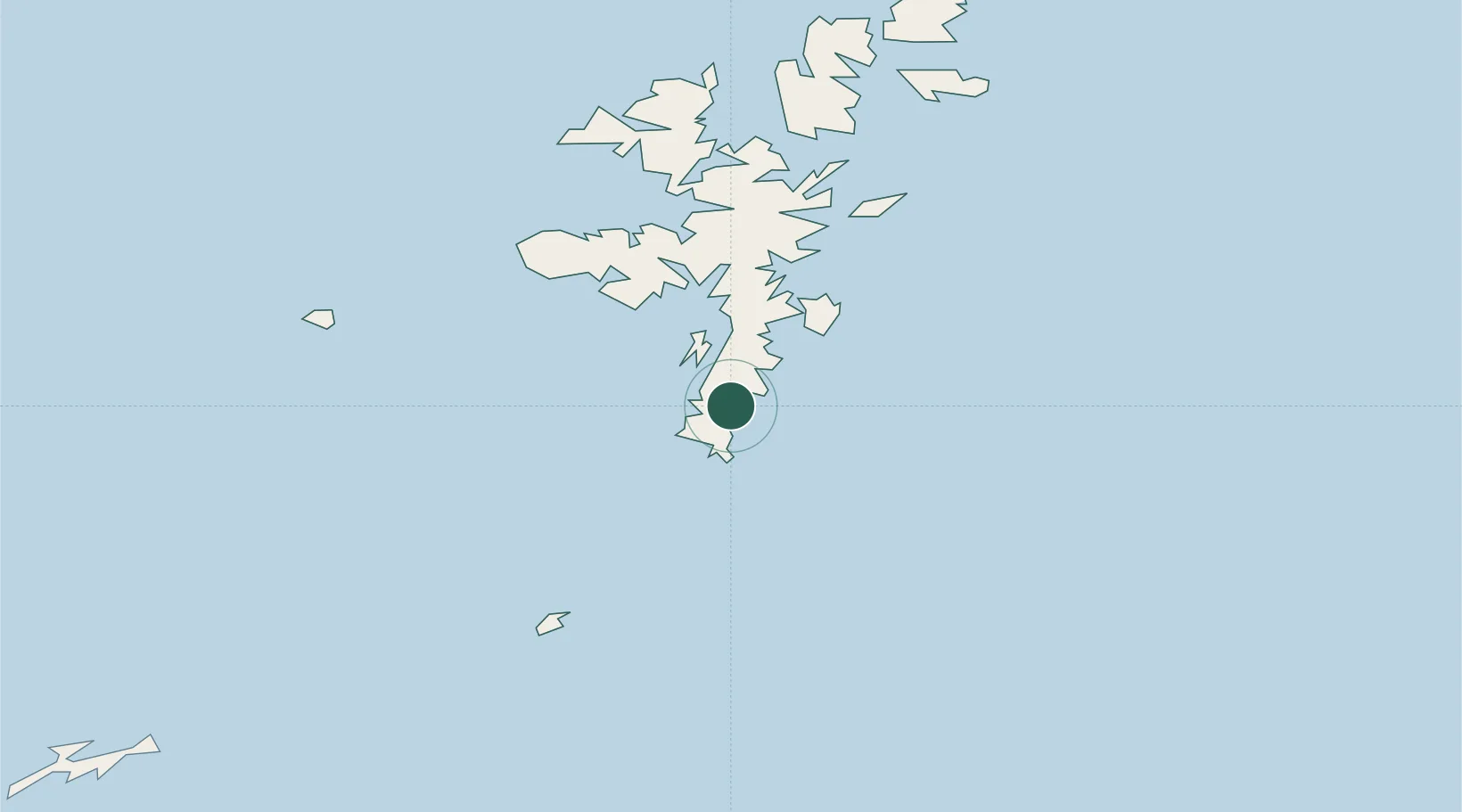
Location
Nearby Logistics Neighbours
Cities
- 1Sandwick2 km
- 2Hoswick4 km
- 3Grutness11 km
- 4Hamnavoe, Burra Isle15 km
- 5Scalloway19 km
Ports
- 1Scalloway19 km
- 2Lerwick23 km
- 3Sullom Voe56 km
- 4Kettletoft111 km
- 5Whitehall119 km
Airports
- 1Sumburgh Airport10 km
- 2Lerwick / Tingwall Airport25 km
- 3Foula Airfield47 km
- 4Fair Isle Airport52 km
- 5North Ronaldsay Airport94 km
Trade Zones
DatabookThe Record of Consolidated Knowledge
United Kingdom beyond logistics?