Transport Functions
Rail
Road
Hub Profile
Place type
Populated place
Region
England
Time zone
Europe/London
Elevation
42 m
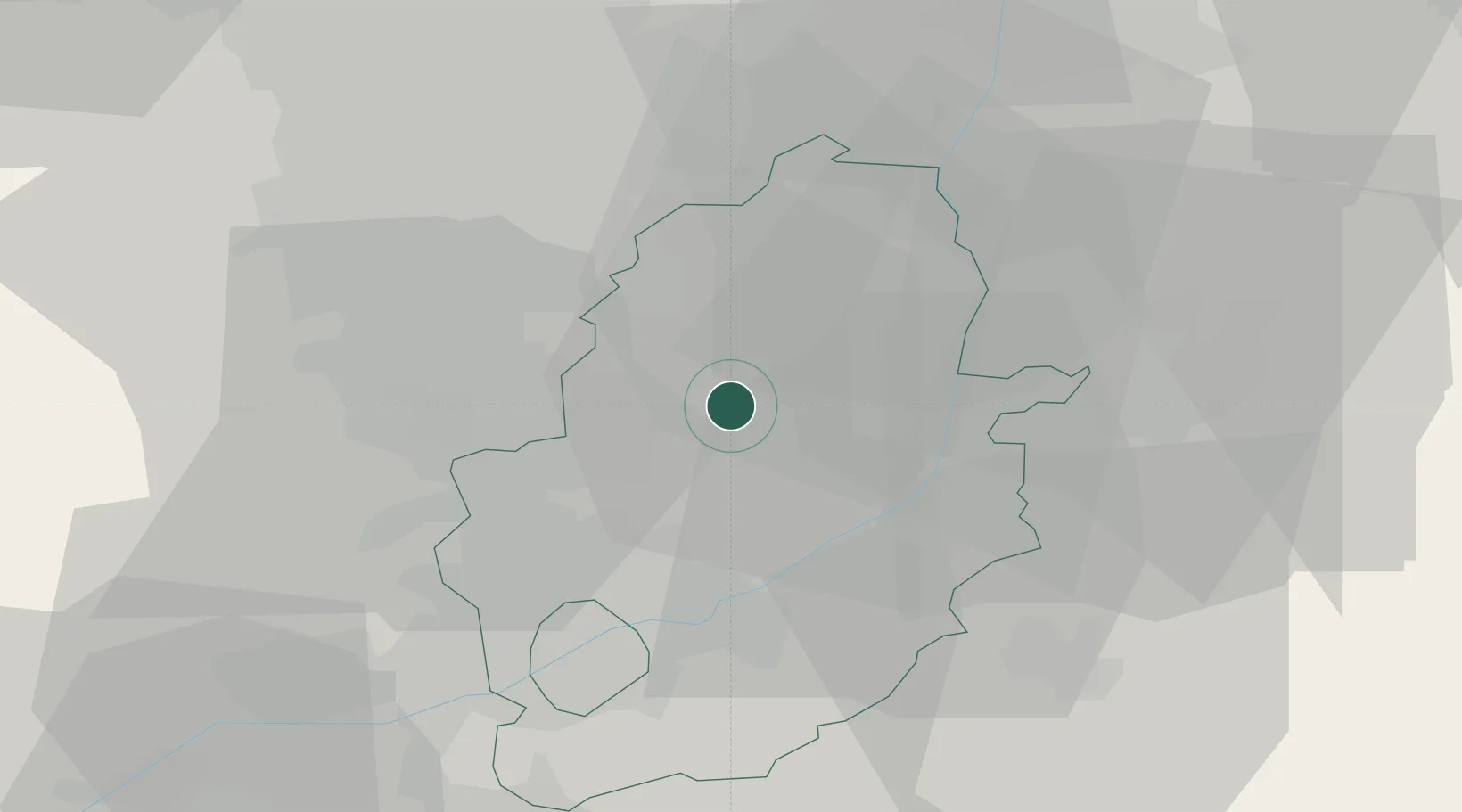
Location
Nearby Logistics Neighbours
Cities
- 1Boughton1 km
- 2Bilsthorpe8 km
- 3Mansfield Woodhouse12 km
- 4Shirebrook13 km
- 5Sutton on Trent15 km
Ports
- 1Goole57 km
- 2Howdendyke60 km
- 3New Holland70 km
- 4Boston72 km
- 5Immingham73 km
Airports
- 1Nottingham City Airport31 km
- 2RAF Waddington33 km
- 3RAF Cranwell40 km
- 4RAF Barkston Heath41 km
- 5East Midlands Airport46 km
DatabookThe Record of Consolidated Knowledge
United Kingdom beyond logistics?