UN/LOCODE hub · United Kingdom
GBBTP
Bilsthorpe
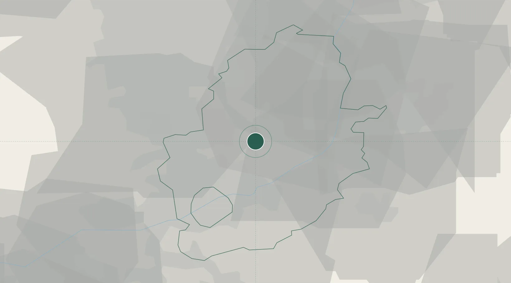
53.1333°, -1.0333°
3,514
Population
2
Transport functions
Transport Functions
Rail
Road
Hub Profile
Place type
Populated place
Region
England
Population
3,514
Time zone
Europe/London
Elevation
77 m
Location
Nearby Logistics Neighbours
Cities
- 1Ollerton8 km
- 2Boughton8 km
- 3Mansfield Woodhouse11 km
- 4Hoveringham14 km
- 5Shirebrook14 km
Ports
- 1Goole64 km
- 2Howdendyke68 km
- 3Boston70 km
- 4New Holland77 km
- 5Immingham78 km
Airports
- 1Nottingham City Airport24 km
- 2RAF Waddington34 km
- 3RAF Barkston Heath37 km
- 4RAF Cranwell38 km
- 5East Midlands Airport39 km
Trade Zones
DatabookThe Record of Consolidated Knowledge
United Kingdom beyond logistics?