Transport Functions
Port
Road
Hub Profile
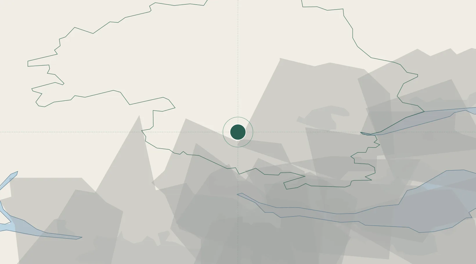
Place type
Populated place
Region
Scotland
Population
7,430
Time zone
Europe/London
Elevation
84 m
Location
Nearby Logistics Neighbours
Cities
- 1Powmill14 km
- 2Perth25 km
- 3Devonside27 km
- 4Lochearnhead28 km
- 5Alloa28 km
Ports
- 1Perth24 km
- 2Grangemouth40 km
- 3Rosyth46 km
- 4Braefoot Bay Terminal49 km
- 5Hound Point Terminal50 km
Airports
- 1Dundee Airport51 km
- 2Edinburgh Airport54 km
- 3Leuchars Station Airfield59 km
- 4Glasgow Airport66 km
- 5Oban Airport97 km
Trade Zones
DatabookThe Record of Consolidated Knowledge
United Kingdom beyond logistics?