UN/LOCODE hub · United Kingdom
GBSIG
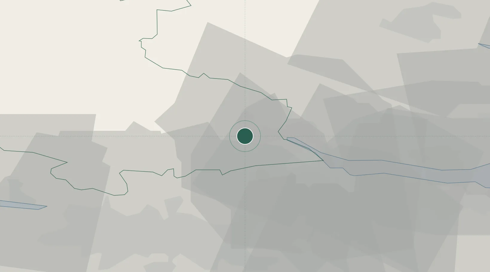
Stirling
56.1167°, -3.9500°
37,910
Population
2
Transport functions
Transport Functions
Rail
Road
Hub Profile
Place type
Provincial seat
Region
Scotland
Population
37,910
Time zone
Europe/London
Elevation
24 m
Location
Nearby Logistics Neighbours
Cities
- 1Bannockburn6 km
- 2Cowie6 km
- 3Alloa10 km
- 4Denny12 km
- 5Devonside14 km
Ports
- 1Grangemouth18 km
- 2Rosyth34 km
- 3Glasgow35 km
- 4Renfrew37 km
- 5Hound Point Terminal39 km
Airports
- 1Edinburgh Airport40 km
- 2Glasgow Airport41 km
- 3Dundee Airport68 km
- 4Leuchars Station Airfield73 km
- 5Glasgow Prestwick Airport79 km
Trade Zones
DatabookThe Record of Consolidated Knowledge
United Kingdom beyond logistics?