Transport Functions
Multimodal
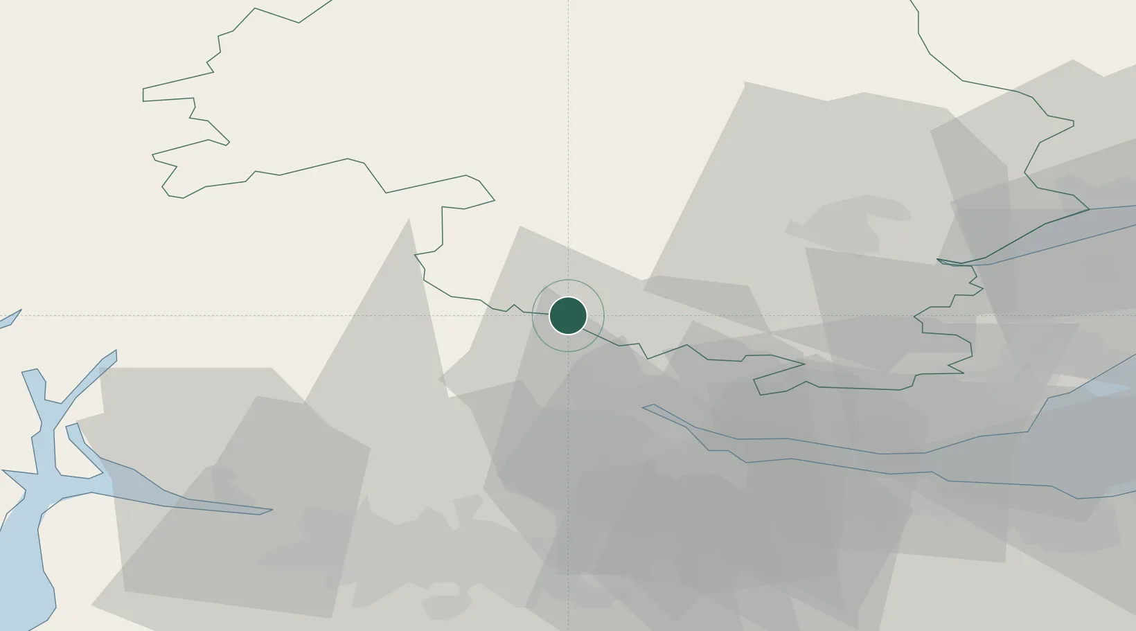
Hub Profile
Place type
Populated place
Region
Scotland
Time zone
Europe/London
Elevation
127 m
Location
Nearby Logistics Neighbours
Cities
- 1Crieff14 km
- 2Stirling17 km
- 3Alloa20 km
- 4Devonside21 km
- 5Bannockburn21 km
Ports
- 1Grangemouth32 km
- 2Perth35 km
- 3Rosyth43 km
- 4Hound Point Terminal48 km
- 5Braefoot Bay Terminal48 km
Airports
- 1Edinburgh Airport51 km
- 2Glasgow Airport53 km
- 3Dundee Airport62 km
- 4Leuchars Station Airfield69 km
- 5Oban Airport91 km
Trade Zones
DatabookThe Record of Consolidated Knowledge
United Kingdom beyond logistics?