Channel & Berth Profile
Pilotage, Tugs & Services
Pilotage compulsoryYES
Tug assistanceYES
Potable waterYES
MedicalYES
Facilities & Capabilities
Container—
Ro-Ro—
Liquid bulk—
Dry bulk—
Oil terminal—
Break bulk—
Dry dock—
RepairsNO
BunkeringYES
Rail linkYES
Dangerous cargo—
ISPS security—
Harbour Specifications
Harbour size
Very Small
Harbour type
River (Natural)
Shelter
Fair
Water body
North Atlantic Ocean
Tidal range
3 m
Overhead limit
Yes
Pilotage
Yes
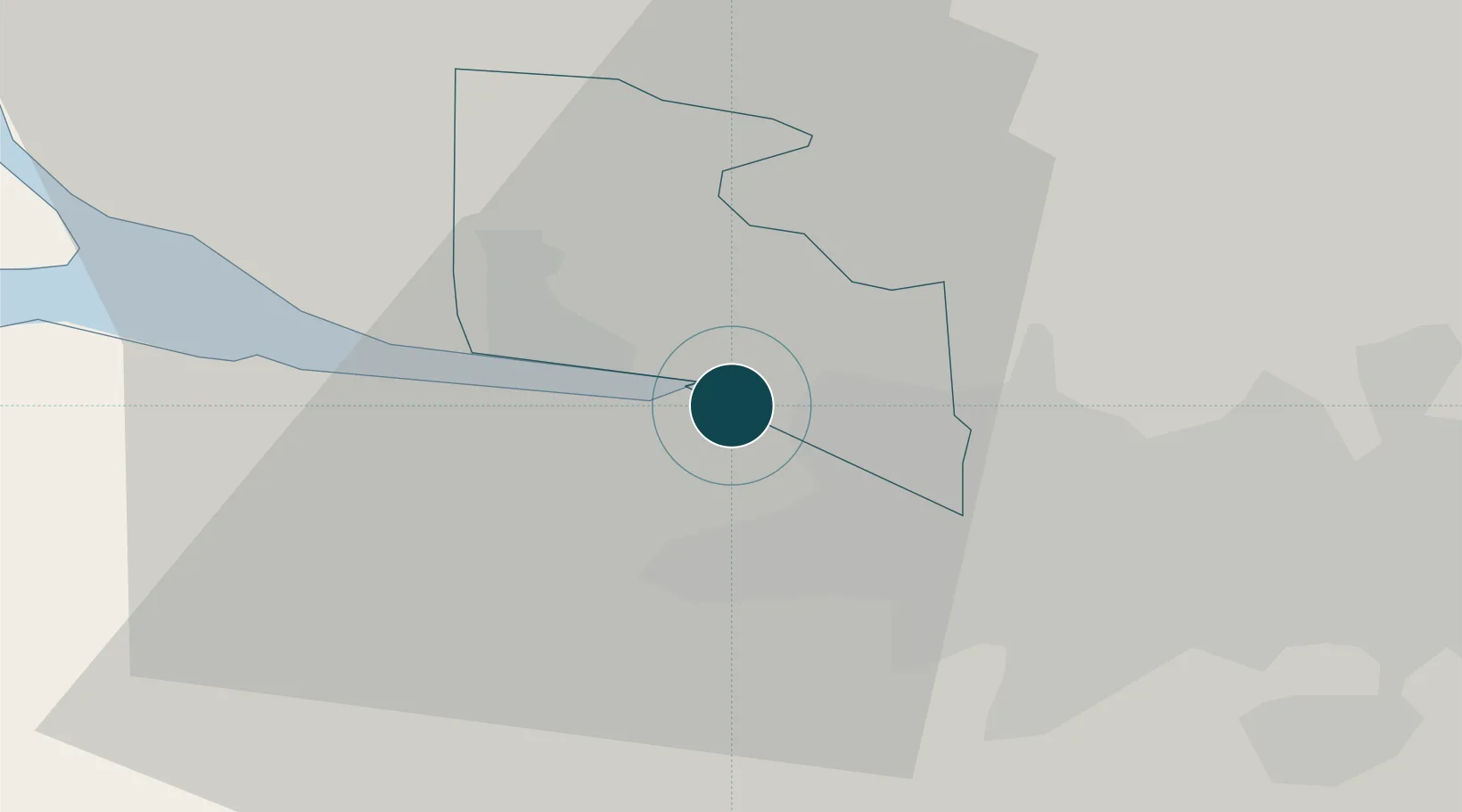
Location
Nearby Logistics Neighbours
Cities
- 1Bowling1 km
- 2Clydebank5 km
- 3Georgetown6 km
- 4Renfrew6 km
- 5Bearsden7 km
Airports
- 1Glasgow Airport5 km
- 2Glasgow Prestwick Airport47 km
- 3Edinburgh Airport68 km
- 4Oban Airport84 km
- 5Campbeltown Airport93 km
Trade Zones
DatabookThe Record of Consolidated Knowledge
United Kingdom beyond logistics?