Transport Functions
Multimodal
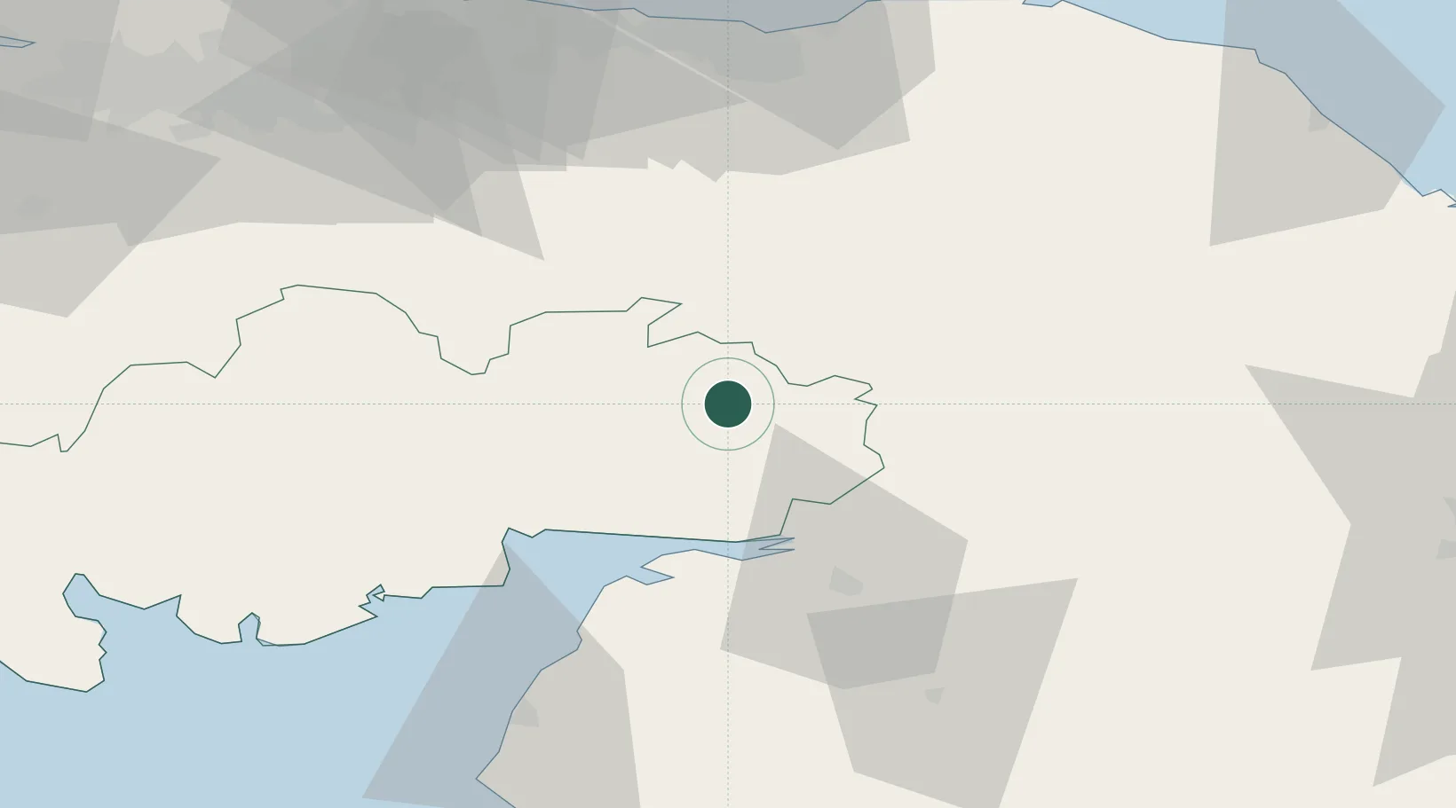
Hub Profile
Place type
Urban district
Region
England
Time zone
Europe/London
Elevation
28 m
Location
Nearby Logistics Neighbours
Cities
- 1Johnstonebridge17 km
- 2Lockerbie18 km
- 3Canonbie23 km
- 4Gretna Green26 km
- 5Gretna27 km
Ports
- 1Silloth44 km
- 2Workington80 km
- 3Leith83 km
- 4Granton84 km
- 5Hound Point Terminal86 km
Airports
- 1Carlisle Lake District Airport39 km
- 2RAF Spadeadam43 km
- 3Edinburgh Airport81 km
- 4Glasgow Prestwick Airport95 km
- 5Newcastle International Airport95 km
Trade Zones
DatabookThe Record of Consolidated Knowledge
United Kingdom beyond logistics?