Transport Functions
Port
Hub Profile
Place type
Populated place
Region
Scotland
Time zone
Europe/London
Elevation
10 m
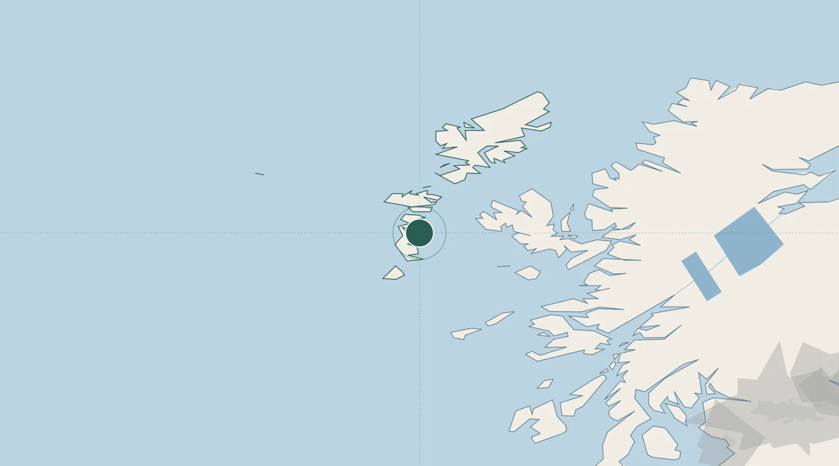
Location
Nearby Logistics Neighbours
Cities
Ports
- 1Lochboisdale21 km
- 2Lochmaddy30 km
- 3Castle Bay45 km
- 4Uig61 km
- 5Portree Harbor64 km
Airports
- 1Benbecula Airport18 km
- 2Barra Airport36 km
- 3Coll Airport90 km
- 4Tiree Airport96 km
- 5Stornoway Airport112 km
Trade Zones
DatabookThe Record of Consolidated Knowledge
United Kingdom beyond logistics?