Transport Functions
Port
Hub Profile
Place type
Populated place
Region
Scotland
Time zone
Europe/London
Elevation
8 m
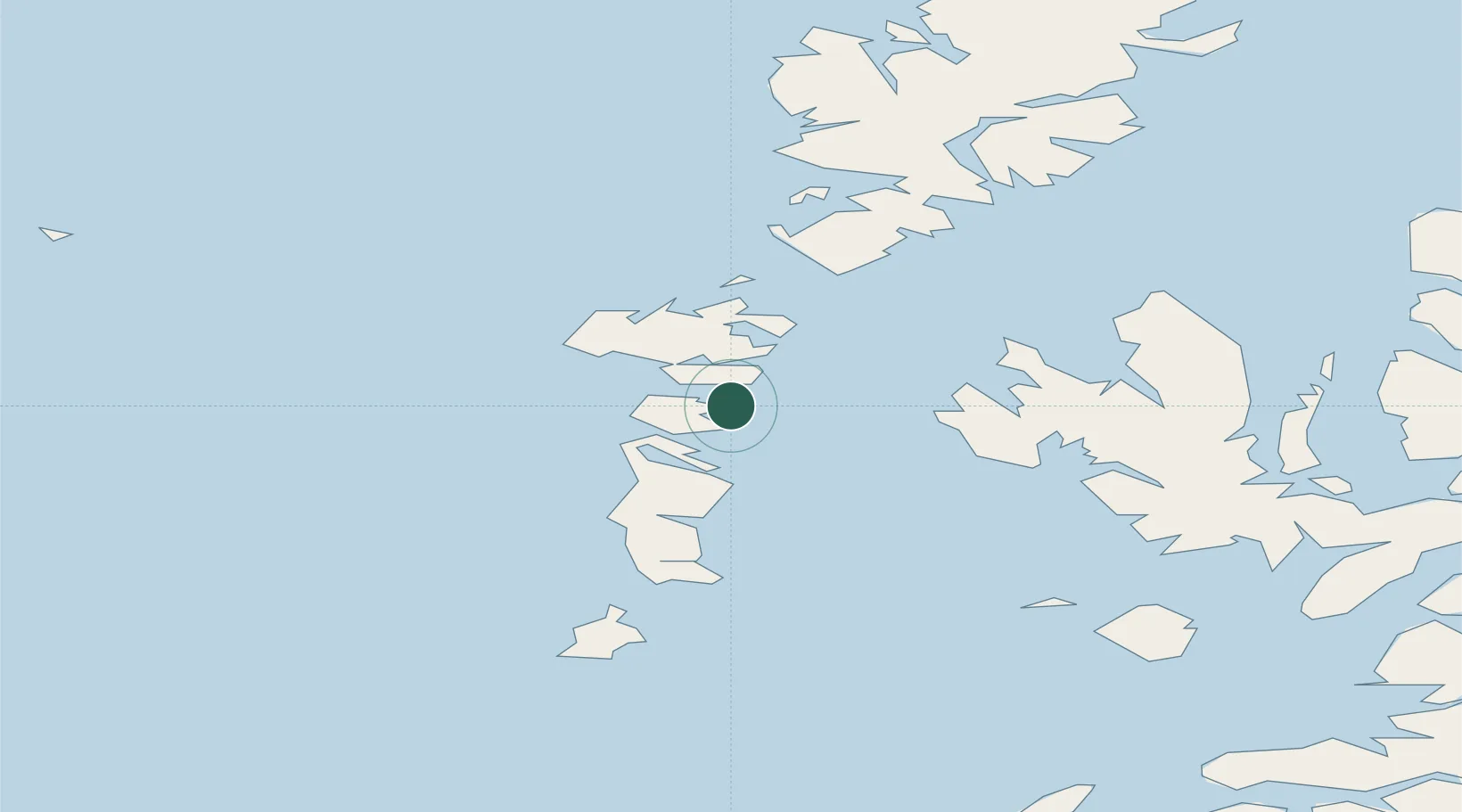
Location
Nearby Logistics Neighbours
Cities
- 1Kallin (Ceallan), Isle of Grimsay2 km
- 2Lochmaddy15 km
- 3North Uist15 km
- 4Bernera (N Uist)15 km
- 5Loch Carnan15 km
Ports
- 1Lochmaddy15 km
- 2Lochboisdale36 km
- 3Uig52 km
- 4Tarbert53 km
- 5Castle Bay60 km
Airports
- 1Benbecula Airport10 km
- 2Barra Airport52 km
- 3Stornoway Airport98 km
- 4Coll Airport102 km
- 5Tiree Airport109 km
Trade Zones
DatabookThe Record of Consolidated Knowledge
United Kingdom beyond logistics?