UN/LOCODE hub · United Kingdom
GBLBD
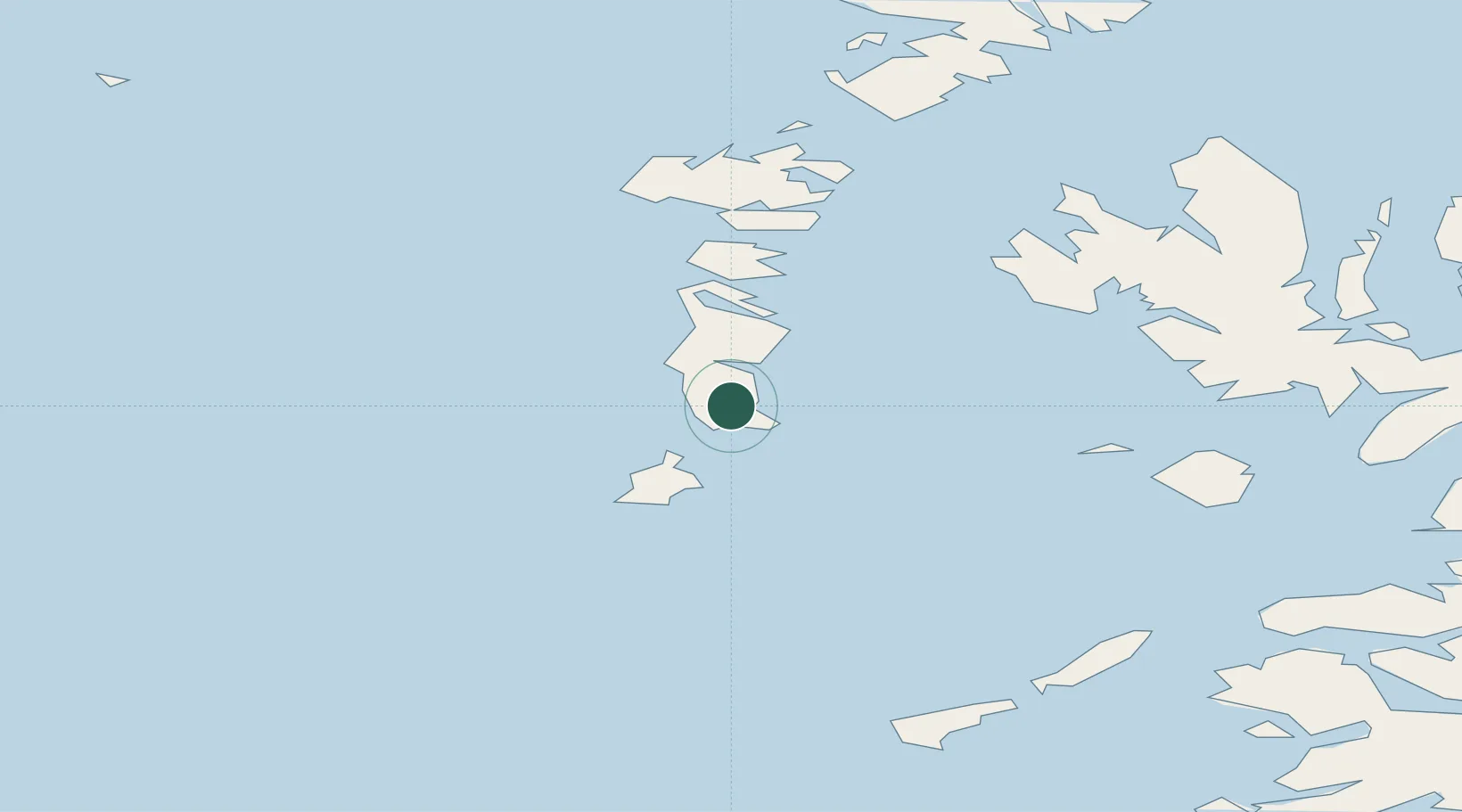
Lochboisdale (Loch Baghasdail), South Uist
57.1500°, -7.3167°
2
Transport functions
Transport Functions
Port
Road
Hub Profile
Region
ELS
Location
Nearby Logistics Neighbours
Cities
- 1Ceann a Gharaidh, Eriskay10 km
- 2South Uist and Eriskay10 km
- 3Aird Mhor (Ardmhor)16 km
- 4Ardveenish17 km
- 5Northbay17 km
Ports
- 1Castle Bay24 km
- 2Lochmaddy51 km
- 3Portree Harbor73 km
- 4Uig75 km
- 5Broadford Bay87 km
Airports
- 1Barra Airport16 km
- 2Benbecula Airport37 km
- 3Coll Airport74 km
- 4Tiree Airport77 km
- 5Stornoway Airport132 km
Trade Zones
DatabookThe Record of Consolidated Knowledge
United Kingdom beyond logistics?