Transport Functions
Multimodal
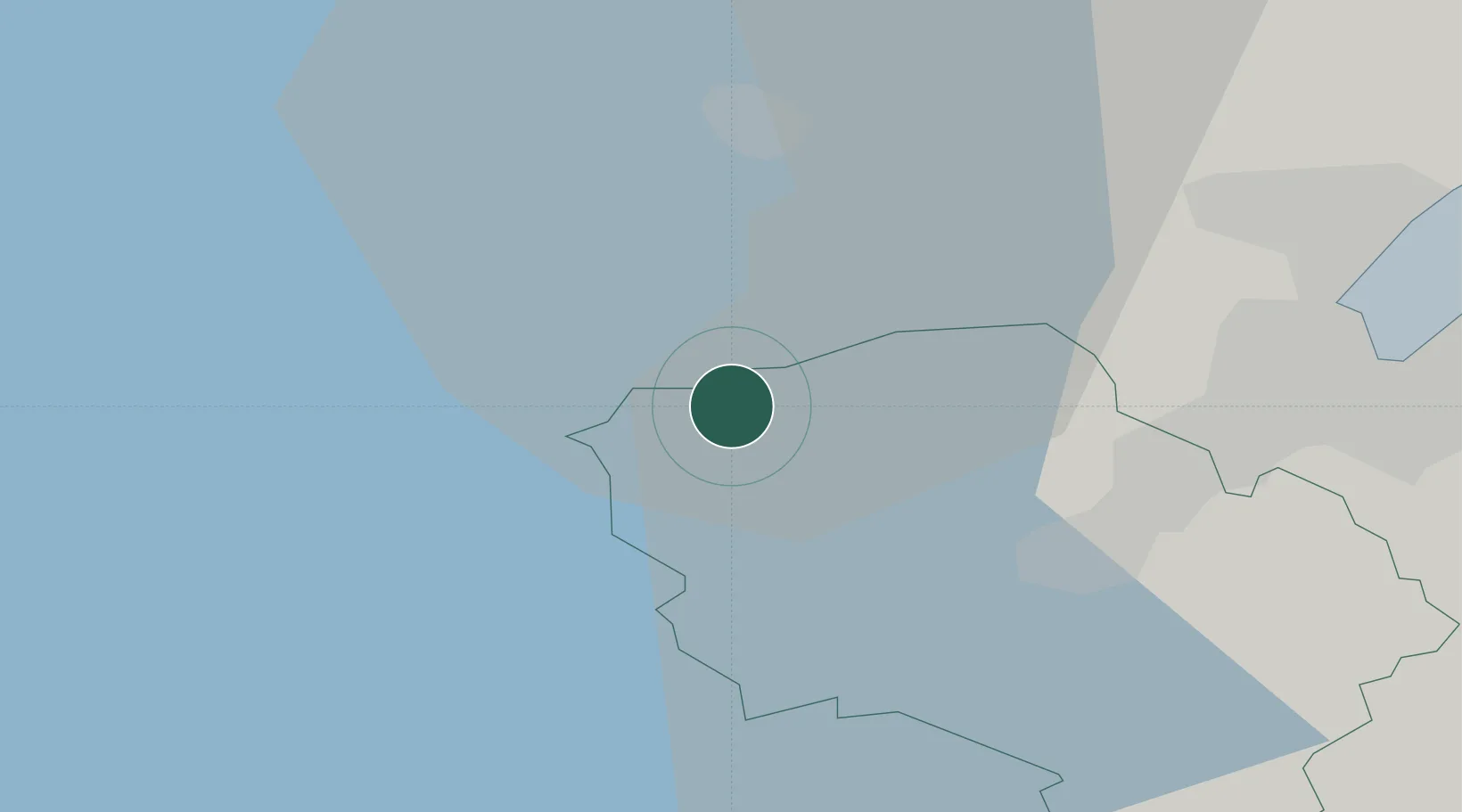
Hub Profile
Place type
Populated place
Region
Northern Ireland
Population
1,089
Time zone
Europe/London
Elevation
71 m
Location
Nearby Logistics Neighbours
Cities
- 1Dunmurry13 km
- 2Dromore19 km
- 3Newtonabbey20 km
- 4Belfast21 km
- 5Newtownabbey24 km
Airports
Trade Zones
DatabookThe Record of Consolidated Knowledge
United Kingdom beyond logistics?