Channel & Berth Profile
Pilotage, Tugs & Services
Pilotage compulsoryYES
Pilotage availableYES
Pilotage advisableYES
Local assistanceYES
Tug assistanceYES
Potable waterYES
Diesel bunkersYES
MedicalYES
Garbage disposalYES
Facilities & Capabilities
Container—
Ro-Ro—
Liquid bulk—
Dry bulk—
Oil terminal—
Break bulk—
Dry dock—
RepairsNO
BunkeringYES
Rail linkYES
Dangerous cargo—
ISPS security—
Harbour Specifications
Harbour size
Very Small
Harbour type
River (Tide Gates)
Shelter
Fair
Water body
Irish Sea; North Atlantic Ocean
Tidal range
8 m
Overhead limit
Yes
Pilotage
Yes
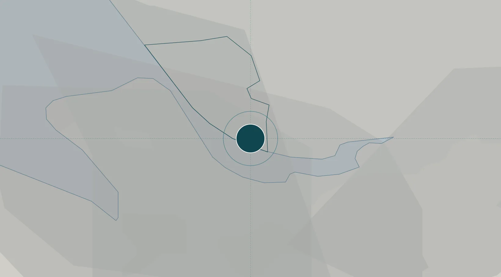
Location
Nearby Logistics Neighbours
Ports
- 1Liverpool10 km
- 2Mostyn25 km
- 3Manchester45 km
- 4Liverpool Bay Terminal48 km
- 5Fleetwood64 km
Cities
- 1Garston2 km
- 2Garston2 km
- 3Mossley Hill2 km
- 4Dingle5 km
- 5Birkenhead6 km
Airports
- 1Liverpool John Lennon Airport4 km
- 2Hawarden Airport20 km
- 3Manchester Airport41 km
- 4Warton Aerodrome44 km
- 5Blackpool Airport48 km
Trade Zones
DatabookThe Record of Consolidated Knowledge
United Kingdom beyond logistics?