UN/LOCODE hub · United Kingdom
GBFWE
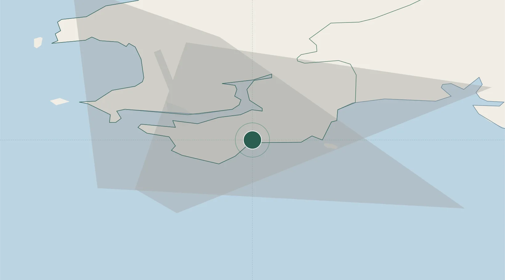
Freshwater East
51.6500°, -4.8667°
250
Population
2
Transport functions
Transport Functions
Port
Road
Hub Profile
Place type
Populated place
Region
Wales
Population
250
Time zone
Europe/London
Elevation
63 m
Location
Nearby Logistics Neighbours
Cities
- 1Pembroke3 km
- 2Stackpole Quay4 km
- 3Neyland7 km
- 4Tenby (Dinbych-y-pysgod)11 km
- 5Broadmoor11 km
Ports
- 1Milford Haven14 km
- 2Fishguard42 km
- 3Swansea63 km
- 4Neath71 km
- 5Port Talbot73 km
Airports
- 1Haverfordwest Airport21 km
- 2Swansea Airport55 km
- 3Lundy Island Helipad56 km
- 4Hartland Point Heliport74 km
- 5Royal Marines Base Chivenor80 km
Trade Zones
DatabookThe Record of Consolidated Knowledge
United Kingdom beyond logistics?