Medium airport · United Kingdom
Swansea AirportEGFH
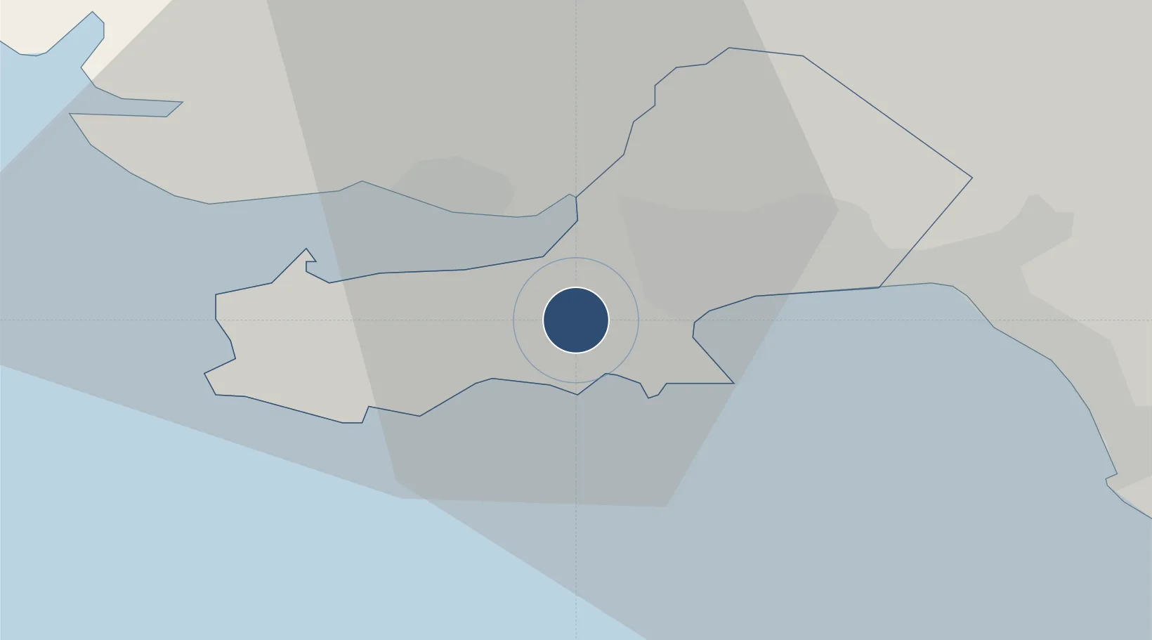
51.6014°, -4.0710°
4,429 ft
Longest runway
2
Runways
299 ft
Elevation
Runway & Layout

Radio Frequencies
A/G
119.7 MHz
RDO
Navaids
SWN NDB Swansea 321 kHz
SWZ DME Swansea 109.20 MHz
Runways · 2
| Runway | Dimensions | Surface | True heading | Lit |
|---|---|---|---|---|
| 04/22 | 4,429 × 151ft | Concrete | 036° | ✓ |
| 10/28 | 2,812 × 151ft | Asphalt | 097° | ✓ |
Airport Specifications
IATA code
SWS
ICAO code
EGFH
Airport class
Medium airport
Scheduled service
No
Runway surface
Concrete
Served city
Swansea
Location
Nearby Logistics Neighbours
Airports
- 1MOD St Athan49 km
- 2Cardiff International Airport55 km
- 3Royal Marines Base Chivenor57 km
- 4Lundy Island Helipad64 km
- 5Haverfordwest Airport67 km
Cities
- 1Pen-Clawdd4 km
- 2Gowerton6 km
- 3Reynoldston8 km
- 4Swansea8 km
- 5Llanelli9 km
Ports
- 1Swansea9 km
- 2Neath17 km
- 3Port Talbot18 km
- 4Barry60 km
- 5Bideford64 km
Trade Zones
DatabookThe Record of Consolidated Knowledge
United Kingdom beyond logistics?