UN/LOCODE hub · United Kingdom
GBNYD

Neyland

51.7000°, -4.9333°
3,708
Population
1
Transport functions

Transport Functions

Port
UN/LOCODE

Hub Profile

Place type
Populated place
GeoNames
Region
Wales
GeoNames
Population
3,708
GeoNames
Time zone
Europe/London
GeoNames
Elevation
44 m
GeoNames

Location

Location of GBNYD
Natural Earth 10m (public domain) · Wales · GBNYD · 51.70, -4.93GoogleOSMYandex

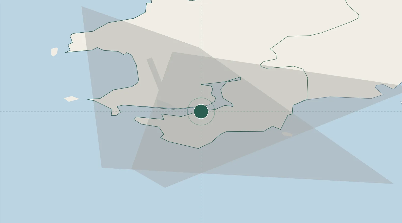
Nearby Logistics Neighbours

Cities
  1. 1Pembroke4 km
  2. 2Steynton6 km
  3. 3Milford Haven7 km
  4. 4Freshwater East7 km
  5. 5Stackpole Quay10 km
Nearest neighbours — logibook spatial index (haversine) over the source coordinates
Ports
  1. 1Milford Haven7 km
  2. 2Fishguard35 km
  3. 3Swansea69 km
  4. 4Neath76 km
  5. 5Port Talbot78 km
Nearest neighbours — logibook spatial index (haversine) over the source coordinates
Airports
  1. 1Haverfordwest Airport15 km
  2. 2Swansea Airport61 km
  3. 3Lundy Island Helipad62 km
  4. 4Hartland Point Heliport81 km
  5. 5Royal Marines Base Chivenor87 km
Nearest neighbours — logibook spatial index (haversine) over the source coordinates
Trade Zones
  1. 1Cornwall Newquay Aerohub Enterprise Zone141 km
  2. 2Exeter & East Devon Enterprise Zone149 km
  3. 3Heart of the South West Enterprise Zone157 km
  4. 4Oceansgate Plymouth157 km
  5. 5Ceramics Valley158 km
Nearest neighbours — logibook spatial index (haversine) over the source coordinates
DatabookThe Record of Consolidated Knowledge
United Kingdom beyond logistics?
Browse databook

All Sources

LocationsUN/LOCODE
UN/LOCODE — free
LocationsGeoNames
CC BY 4.0
Portsthe NGA World Port Index
Public domain (US gov)
AirportsOurAirports
Public domain
Trade Zonesthe World Bank SEZ database
CC BY 4.0
Trade ZonesOpen Zone Map
CC BY
← United Kingdom locations