UN/LOCODE hub · United Kingdom
GBPEM
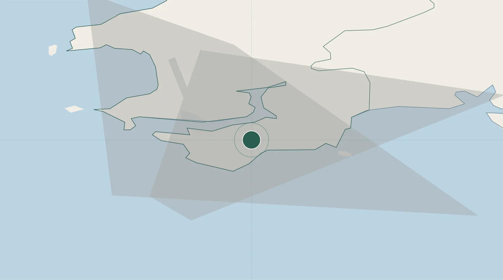
Pembroke
51.6667°, -4.9000°
7,552
Population
1
Transport functions
Transport Functions
Port
Hub Profile
Place type
Populated place
Region
Wales
Population
7,552
Time zone
Europe/London
Elevation
19 m
Location
Nearby Logistics Neighbours
Cities
- 1Freshwater East3 km
- 2Neyland4 km
- 3Stackpole Quay6 km
- 4Steynton10 km
- 5Milford Haven11 km
Ports
- 1Milford Haven11 km
- 2Fishguard39 km
- 3Swansea66 km
- 4Neath74 km
- 5Port Talbot75 km
Airports
- 1Haverfordwest Airport19 km
- 2Swansea Airport58 km
- 3Lundy Island Helipad58 km
- 4Hartland Point Heliport77 km
- 5Royal Marines Base Chivenor83 km
Trade Zones
DatabookThe Record of Consolidated Knowledge
United Kingdom beyond logistics?