Seaport · United Kingdom

NeathGBNEA

51.6333°, -3.8333°
3.4 m
Channel depth
Neath is also a UN/LOCODE logistics hub →

Channel & Berth Profile

SEA LEVEL (CD)CHANNEL BEDChannel · 3.4 mCargo pier · 4.9 mOil terminal · 4.9 mAnchorage · 18.6 m
NGA World Port Index

Pilotage, Tugs & Services

Pilotage compulsoryYES
Pilotage availableYES
Tug assistanceYES
Salvage tugsNO
Potable waterYES
Diesel bunkersYES
MedicalYES
NGA World Port Index

Facilities & Capabilities

Container
Ro-Ro
Liquid bulk
Dry bulk
Oil terminal
Break bulk
Dry dock
Repairs
BunkeringYES
Rail linkYES
Dangerous cargo
ISPS security
NGA World Port Index

Harbour Specifications

Harbour size
Very Small
NGA World Port Index
Harbour type
Coastal (Natural)
NGA World Port Index
Shelter
Good
NGA World Port Index
Water body
Bristol Channel; North Atlantic Ocean
NGA World Port Index
Tidal range
6 m
NGA World Port Index
Overhead limit
Yes
NGA World Port Index
Pilotage
Yes
NGA World Port Index

Location

Location of GBNEA
Natural Earth 10m (public domain) · Neath Port Talbot · GBNEA · 51.63, -3.83GoogleOSMYandex

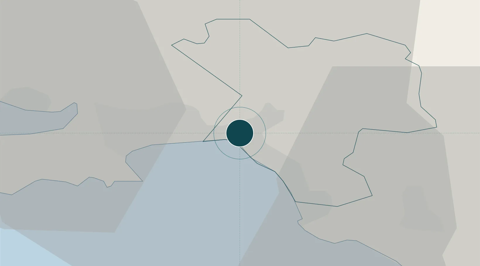
Nearby Logistics Neighbours

Ports
  1. 1Port Talbot6 km
  2. 2Swansea8 km
  3. 3Barry47 km
  4. 4Cardiff50 km
  5. 5Newport59 km
Nearest neighbours — logibook spatial index (haversine) over the source coordinates
Cities
  1. 1Briton Ferry1 km
  2. 2Llansamlet4 km
  3. 3Port Talbot5 km
  4. 4Landore6 km
  5. 5Swansea9 km
Nearest neighbours — logibook spatial index (haversine) over the source coordinates
Airports
  1. 1Swansea Airport17 km
  2. 2MOD St Athan38 km
  3. 3Cardiff International Airport43 km
  4. 4Royal Marines Base Chivenor65 km
  5. 5Lundy Island Helipad78 km
Nearest neighbours — logibook spatial index (haversine) over the source coordinates
Trade Zones
  1. 1Ceramics Valley85 km
  2. 2Bristol Temple Quarter Enterprise Zone89 km
  3. 3Hereford Enterprise Zone91 km
  4. 4Exeter & East Devon Enterprise Zone104 km
  5. 5Heart of the South West Enterprise Zone139 km
Nearest neighbours — logibook spatial index (haversine) over the source coordinates
DatabookThe Record of Consolidated Knowledge
United Kingdom beyond logistics?
Browse databook

All Sources

Portsthe NGA World Port Index
Public domain (US gov)
AirportsOurAirports
Public domain
LocationsUN/LOCODE
UN/LOCODE — free
Trade Zonesthe World Bank SEZ database
CC BY 4.0
Trade ZonesOpen Zone Map
CC BY
← United Kingdom ports