UN/LOCODE hub · United Kingdom
GBTEN

Tenby (Dinbych-y-pysgod)

51.6667°, -4.7167°
3
Transport functions

Transport Functions

Port
Rail
Road
UN/LOCODE

Hub Profile

Region
PEM
GeoNames

Location

Location of GBTEN
Natural Earth 10m (public domain) · PEM · GBTEN · 51.67, -4.72GoogleOSMYandex

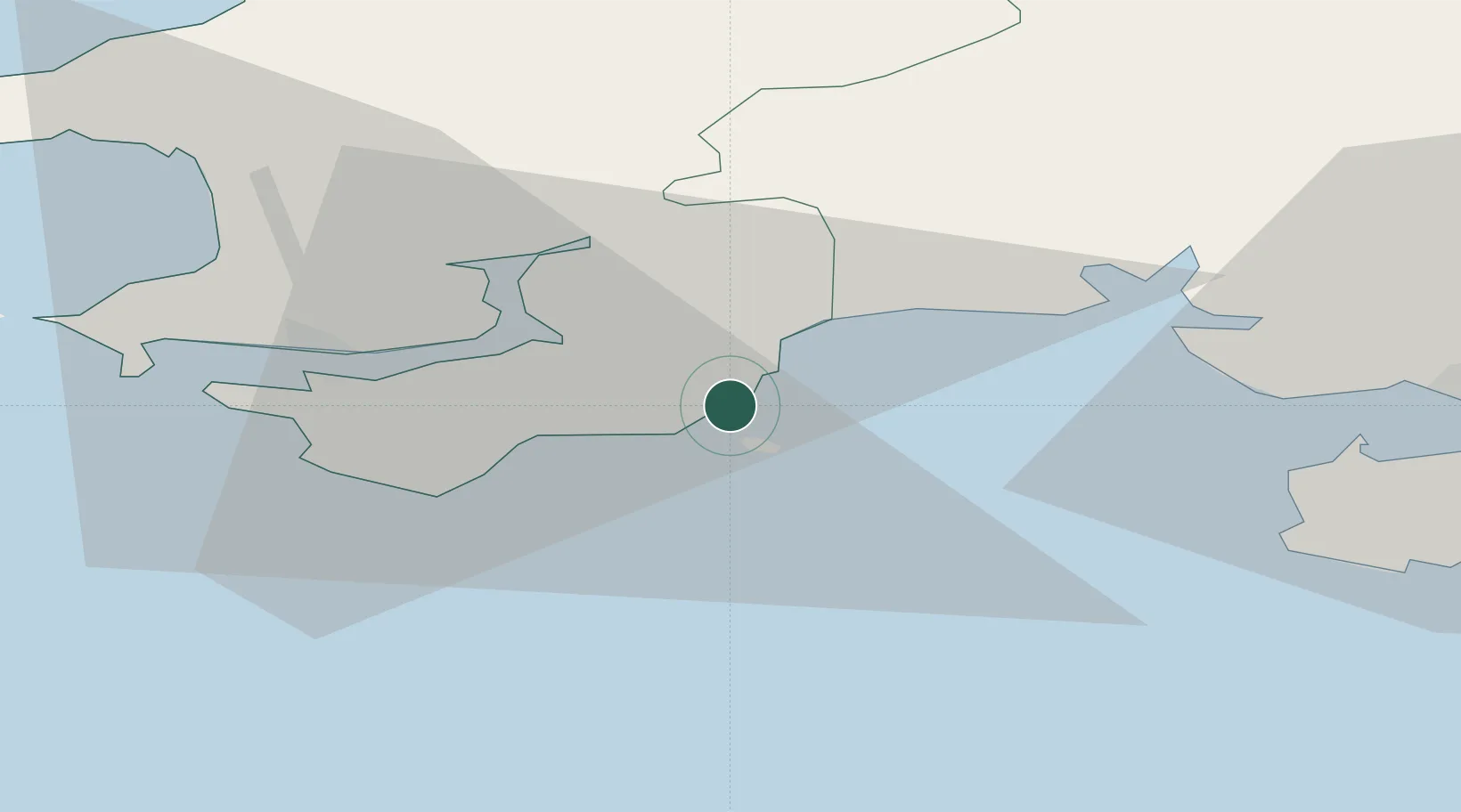
Nearby Logistics Neighbours

Cities
  1. 1Saundersfoot4 km
  2. 2Broadmoor6 km
  3. 3Kilgetty8 km
  4. 4Freshwater East11 km
  5. 5Pembroke13 km
Nearest neighbours — logibook spatial index (haversine) over the source coordinates
Ports
  1. 1Milford Haven23 km
  2. 2Fishguard43 km
  3. 3Swansea53 km
  4. 4Neath61 km
  5. 5Port Talbot63 km
Nearest neighbours — logibook spatial index (haversine) over the source coordinates
Airports
  1. 1Haverfordwest Airport25 km
  2. 2Swansea Airport45 km
  3. 3Lundy Island Helipad56 km
  4. 4Hartland Point Heliport73 km
  5. 5Royal Marines Base Chivenor76 km
Nearest neighbours — logibook spatial index (haversine) over the source coordinates
Trade Zones
  1. 1Exeter & East Devon Enterprise Zone136 km
  2. 2Cornwall Newquay Aerohub Enterprise Zone139 km
  3. 3Ceramics Valley144 km
  4. 4Hereford Enterprise Zone146 km
  5. 5Heart of the South West Enterprise Zone148 km
Nearest neighbours — logibook spatial index (haversine) over the source coordinates
DatabookThe Record of Consolidated Knowledge
United Kingdom beyond logistics?
Browse databook

All Sources

LocationsUN/LOCODE
UN/LOCODE — free
Portsthe NGA World Port Index
Public domain (US gov)
AirportsOurAirports
Public domain
Trade Zonesthe World Bank SEZ database
CC BY 4.0
Trade ZonesOpen Zone Map
CC BY
← United Kingdom locations