UN/LOCODE hub · United Kingdom
GBSPQ

Stackpole Quay

51.6167°, -4.9000°
1
Transport functions

Transport Functions

Port
UN/LOCODE

Hub Profile

Region
PEM
GeoNames

Location

Location of GBSPQ
Natural Earth 10m (public domain) · PEM · GBSPQ · 51.62, -4.90GoogleOSMYandex

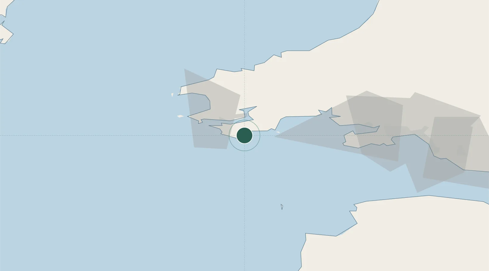
Nearby Logistics Neighbours

Cities
  1. 1Freshwater East4 km
  2. 2Pembroke6 km
  3. 3Neyland10 km
  4. 4Steynton14 km
  5. 5Tenby (Dinbych-y-pysgod)14 km
Nearest neighbours — logibook spatial index (haversine) over the source coordinates
Ports
  1. 1Milford Haven14 km
  2. 2Fishguard45 km
  3. 3Swansea66 km
  4. 4Neath74 km
  5. 5Port Talbot75 km
Nearest neighbours — logibook spatial index (haversine) over the source coordinates
Airports
  1. 1Haverfordwest Airport24 km
  2. 2Lundy Island Helipad53 km
  3. 3Swansea Airport57 km
  4. 4Hartland Point Heliport72 km
  5. 5Royal Marines Base Chivenor79 km
Nearest neighbours — logibook spatial index (haversine) over the source coordinates
Trade Zones
  1. 1Cornwall Newquay Aerohub Enterprise Zone132 km
  2. 2Exeter & East Devon Enterprise Zone141 km
  3. 3Heart of the South West Enterprise Zone147 km
  4. 4Oceansgate Plymouth147 km
  5. 5Ceramics Valley157 km
Nearest neighbours — logibook spatial index (haversine) over the source coordinates
DatabookThe Record of Consolidated Knowledge
United Kingdom beyond logistics?
Browse databook

All Sources

LocationsUN/LOCODE
UN/LOCODE — free
Portsthe NGA World Port Index
Public domain (US gov)
AirportsOurAirports
Public domain
Trade Zonesthe World Bank SEZ database
CC BY 4.0
Trade ZonesOpen Zone Map
CC BY
← United Kingdom locations