Transport Functions
Port
Road
Hub Profile
Place type
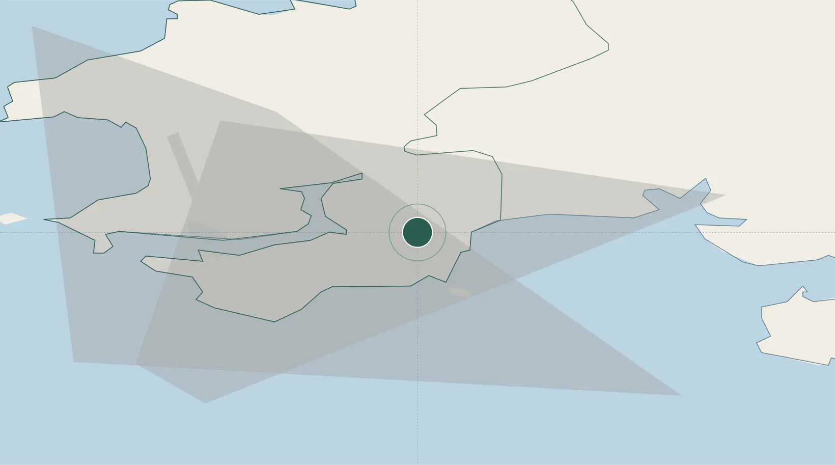
Populated place
Region
Wales
Time zone
Europe/London
Elevation
50 m
Location
Nearby Logistics Neighbours
Cities
- 1Saundersfoot3 km
- 2Kilgetty4 km
- 3Tenby (Dinbych-y-pysgod)6 km
- 4Freshwater East11 km
- 5Bethesda11 km
Ports
- 1Milford Haven20 km
- 2Fishguard37 km
- 3Swansea56 km
- 4Neath64 km
- 5Port Talbot66 km
Airports
- 1Haverfordwest Airport20 km
- 2Swansea Airport49 km
- 3Lundy Island Helipad62 km
- 4Hartland Point Heliport79 km
- 5Royal Marines Base Chivenor81 km
Trade Zones
DatabookThe Record of Consolidated Knowledge
United Kingdom beyond logistics?