Transport Functions
Port
Hub Profile
Place type
Populated place
Region
England
Population
722
Time zone
Europe/London
Elevation
10 m
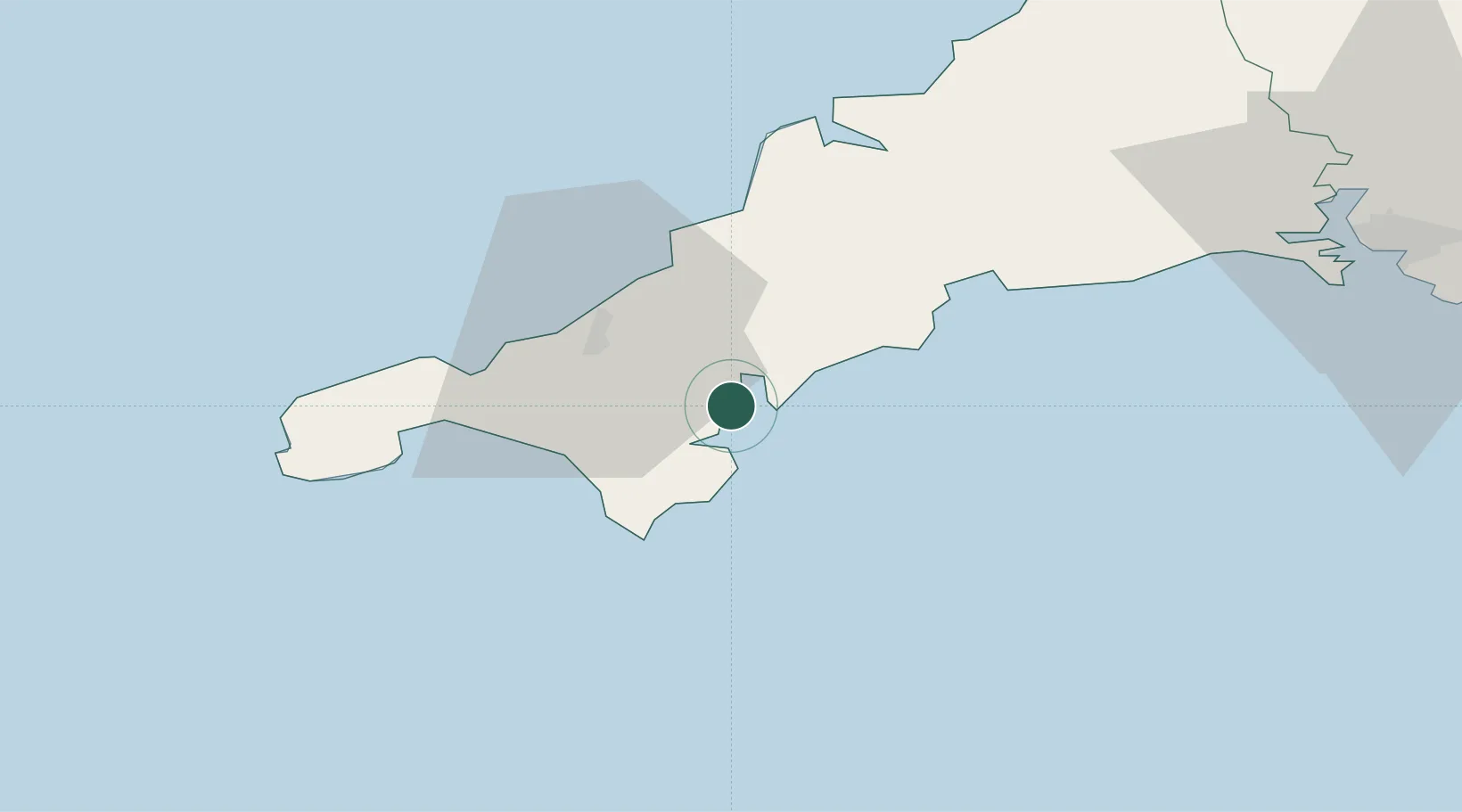
Location
Nearby Logistics Neighbours
Cities
- 1Mylor2 km
- 2Budock Water4 km
- 3Saint Mawes4 km
- 4Portscatho7 km
- 5Constantine8 km
Ports
- 1Falmouth Harbour0 km
- 2Mevagissey24 km
- 3Hayle25 km
- 4Charlestown30 km
- 5Penzance34 km
Airports
- 1RNAS Culdrose15 km
- 2Penzance Heliport32 km
- 3Cornwall Airport Newquay33 km
- 4Land's End Airport43 km
- 5St. Mary's Airport91 km
Trade Zones
DatabookThe Record of Consolidated Knowledge
United Kingdom beyond logistics?