UN/LOCODE hub · United Kingdom
GBCZZ
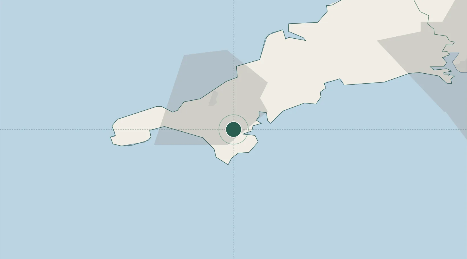
Constantine
50.1167°, -5.1667°
819
Population
1
Transport functions
Transport Functions
Port
Hub Profile
Place type
Populated place
Region
England
Population
819
Time zone
Europe/London
Elevation
92 m
Location
Nearby Logistics Neighbours
Cities
- 1Gweek3 km
- 2Helford River4 km
- 3Budock Water5 km
- 4Flushing8 km
- 5Saint Keverne9 km
Ports
- 1Falmouth Harbour8 km
- 2Hayle19 km
- 3Penzance26 km
- 4Newlyn27 km
- 5Mevagissey32 km
Airports
- 1RNAS Culdrose7 km
- 2Penzance Heliport25 km
- 3Land's End Airport36 km
- 4Cornwall Airport Newquay38 km
- 5St. Mary's Airport84 km
Trade Zones
DatabookThe Record of Consolidated Knowledge
United Kingdom beyond logistics?