Channel & Berth Profile
Pilotage, Tugs & Services
Pilotage compulsoryYES
Tug assistanceNO
Salvage tugsNO
Potable waterYES
Facilities & Capabilities
Container—
Ro-Ro—
Liquid bulk—
Dry bulk—
Oil terminal—
Break bulk—
Dry dock—
RepairsNO
BunkeringYES
Rail linkYES
Dangerous cargo—
ISPS security—
Harbour Specifications
Harbour size
Very Small
Harbour type
River (Basins)
Shelter
Good
Water body
Celtic Sea; North Atlantic Ocean
Tidal range
15 m
Pilotage
Yes
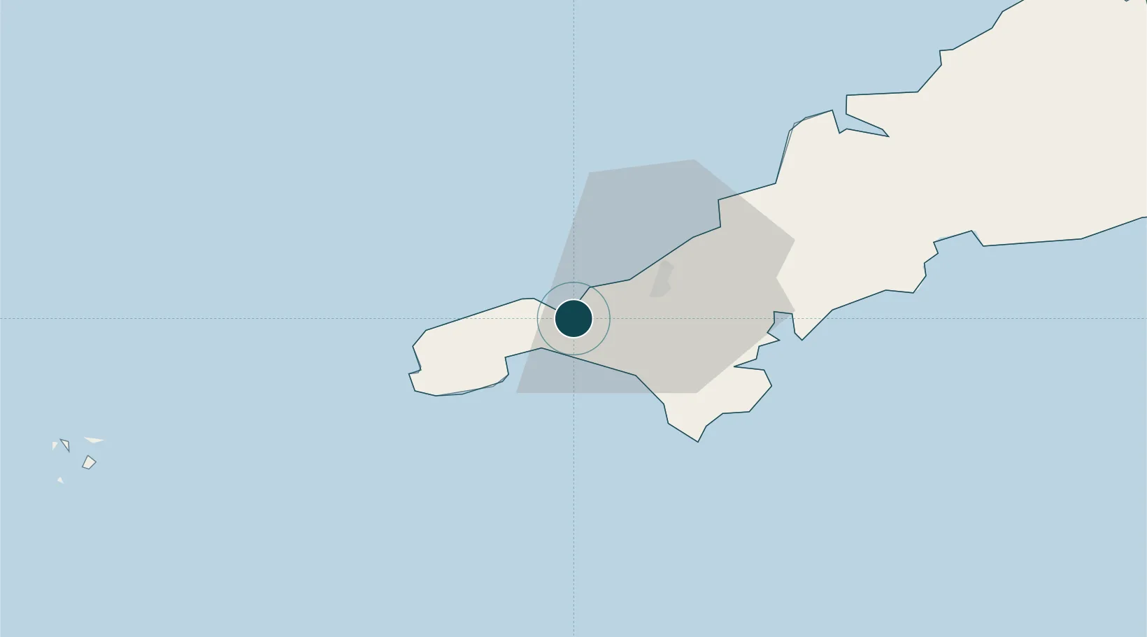
Location
Nearby Logistics Neighbours
Ports
- 1Penzance11 km
- 2Newlyn13 km
- 3Falmouth Harbour25 km
- 4Mevagissey46 km
- 5Charlestown50 km
Cities
- 1Saint Michael's Mount8 km
- 2Gulval9 km
- 3Breage11 km
- 4Portreath12 km
- 5Porthleven13 km
Airports
- 1Penzance Heliport9 km
- 2RNAS Culdrose16 km
- 3Land's End Airport20 km
- 4Cornwall Airport Newquay41 km
- 5St. Mary's Airport69 km
Trade Zones
DatabookThe Record of Consolidated Knowledge
United Kingdom beyond logistics?