Transport Functions
Port
Hub Profile
Place type
Populated place
Region
England
Time zone
Europe/London
Elevation
54 m
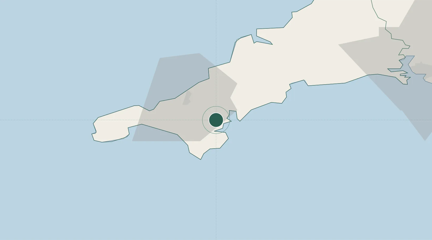
Location
Nearby Logistics Neighbours
Cities
- 1Flushing4 km
- 2Mylor5 km
- 3Constantine5 km
- 4Saint Mawes7 km
- 5Helford River8 km
Ports
- 1Falmouth Harbour4 km
- 2Hayle22 km
- 3Mevagissey27 km
- 4Penzance30 km
- 5Newlyn31 km
Airports
- 1RNAS Culdrose12 km
- 2Penzance Heliport28 km
- 3Cornwall Airport Newquay33 km
- 4Land's End Airport40 km
- 5St. Mary's Airport88 km
Trade Zones
DatabookThe Record of Consolidated Knowledge
United Kingdom beyond logistics?