UN/LOCODE hub · United Kingdom
GBPSC
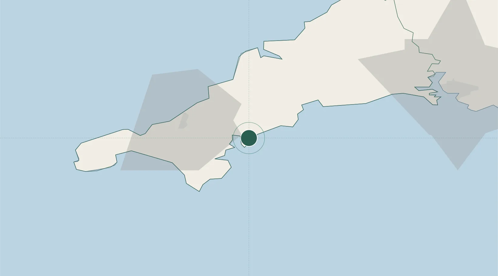
Portscatho
50.1833°, -4.9833°
1,500
Population
2
Transport functions
Transport Functions
Port
Road
Hub Profile
Place type
Populated place
Region
England
Population
1,500
Time zone
Europe/London
Location
Nearby Logistics Neighbours
Cities
- 1Saint Mawes4 km
- 2Mylor5 km
- 3Portloe7 km
- 4Flushing7 km
- 5Saint Clement8 km
Ports
- 1Falmouth Harbour7 km
- 2Mevagissey17 km
- 3Charlestown24 km
- 4Par27 km
- 5Fowey Harbour30 km
Airports
- 1RNAS Culdrose22 km
- 2Cornwall Airport Newquay29 km
- 3Penzance Heliport38 km
- 4Land's End Airport50 km
- 5St. Mary's Airport98 km
Trade Zones
DatabookThe Record of Consolidated Knowledge
United Kingdom beyond logistics?