Transport Functions
Port
Hub Profile
Region
CON
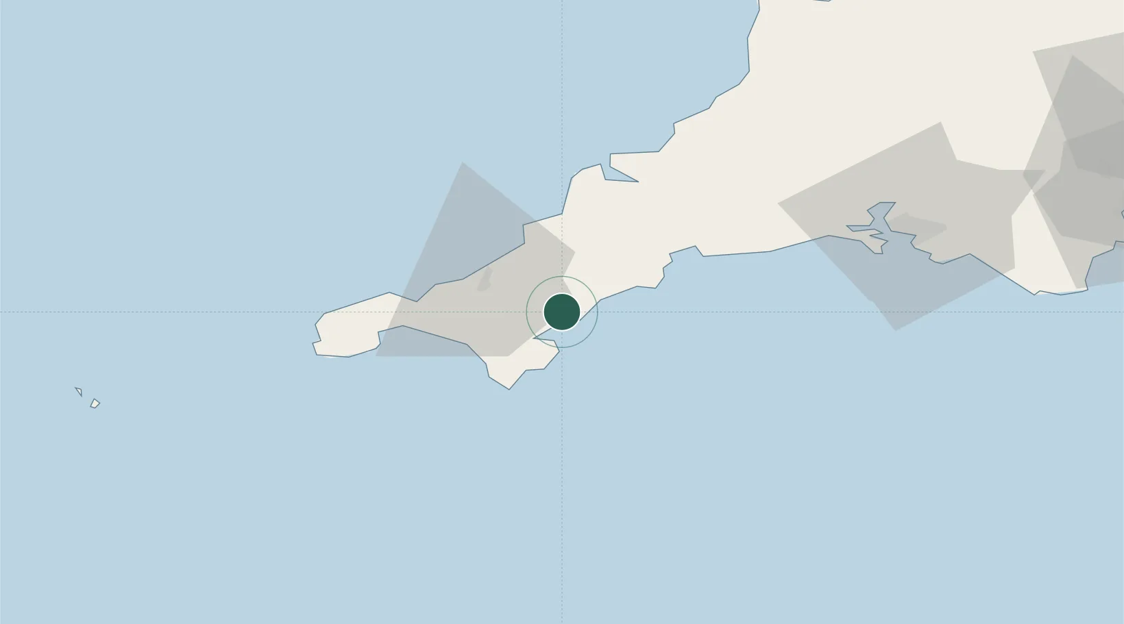
Location
Nearby Logistics Neighbours
Cities
- 1Flushing2 km
- 2Saint Mawes3 km
- 3Portscatho5 km
- 4Budock Water5 km
- 5Saint Clement10 km
Ports
- 1Falmouth Harbour2 km
- 2Mevagissey22 km
- 3Hayle26 km
- 4Charlestown28 km
- 5Par32 km
Airports
- 1RNAS Culdrose17 km
- 2Cornwall Airport Newquay31 km
- 3Penzance Heliport33 km
- 4Land's End Airport45 km
- 5St. Mary's Airport93 km
Trade Zones
DatabookThe Record of Consolidated Knowledge
United Kingdom beyond logistics?